In collaboration with the Alabama Department of Transportation, we are evaluating the effects of sea level rise on road and ferry access infrastructure in coastal Alabama and determining the ability of natural and nature-based features to mitigate those effects.
Why We Care
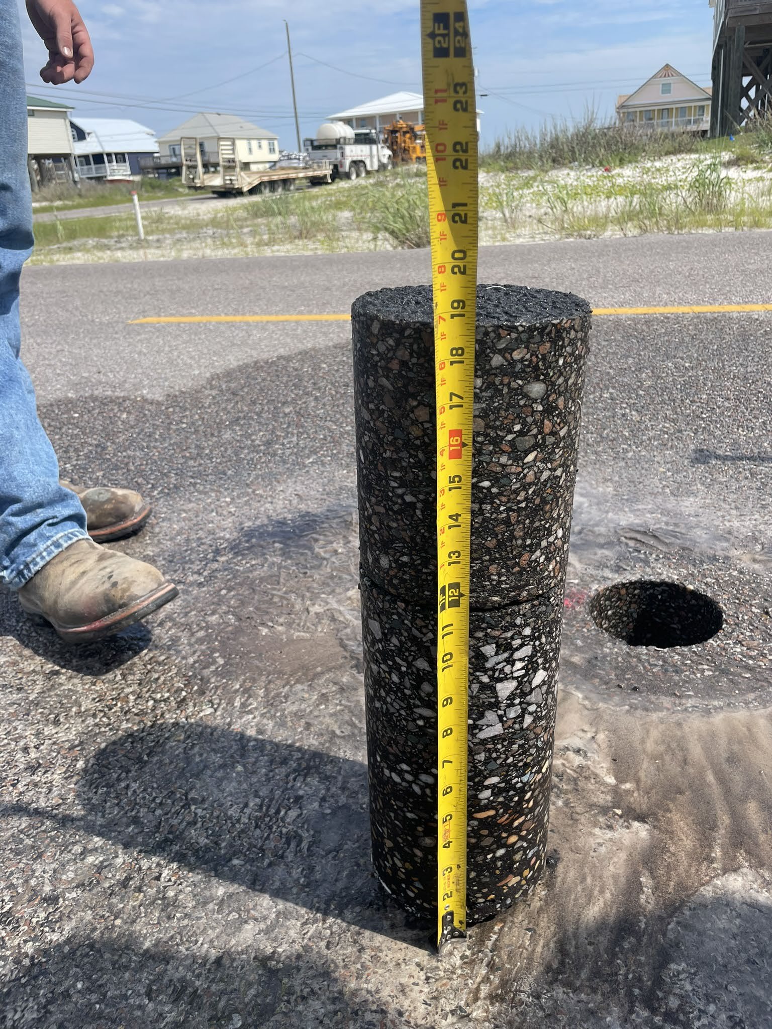
Sea level rise and extreme climate events are complex problems that require a multidisciplinary solution to address surface transportation resilience. Water, through sea level rise or extreme climate events, is the main stressor on the transportation system, affecting not only the surface transportation infrastructure, but also the surrounding socioecological aspects of the system. The infrastructure, considered in this project to be the pavement system due to the immense financial investment involved (an estimated 60,000 lane miles in the U.S. coastal zone), is not typically designed to withstand extreme, long-term water stress.
What We Are Doing
The main study site is Alabama State Route 180, a coastal roadway impacted by severe coastal storms, high groundwater tables, and future sea level rise (Figure 1). AL-180, also known as Fort Morgan Road, serves as an evacuation route, facilitates local tourism, and is an east-west route via the ALDOT ferry system.
We are bringing together engineering, ecosystem, and economic expertise in collaboration with the Alabama Department of Transportation to address three main objectives: 1) quantify the vulnerability of coastal communities, infrastructure, and ecosystems to sea level rise and inundation; 2) quantify the social, economic, and ecological benefits that natural and nature-based features (NNBF) provide communities, infrastructure, and ecosystems in comparison to gray protective infrastructure; and 3) predict the effects of sea level rise and inundation on ecosystems, communities, and infrastructure under varying risk management strategies to inform technical and policy actions that increase long-term coastal resilience.
To meet these objectives the project team is undertaking 10 tasks. Tasks 1–3 deal directly with the system stressors, using advanced approaches to quantify coastal roadway vulnerability through multi-scale hydrological/hydrodynamic models, and applying those models to predict the extent and duration of roadway flooding, saturation, and erosion due to sea level rise, groundwater, storm surge, and waves. These models will explicitly incorporate various NNBF and conventional adaptation strategies to quantify the mitigation of pavement inundation and saturation. Task 4 deals directly with the surface transportation infrastructure itself, using instrumented sections of pavement and automated distress survey data, along with historical pavement data, to capture the effect of extreme events on pavement deterioration. Task 4 also incorporates findings from Tasks 1–3 in pavement performance prediction models used by practitioners to develop pavement design options. Tasks 5–7 capture the socioecological aspects of the project, predicting how NNBF and hybrid features will change over time, and examining the long-term social and ecological benefits of different adaptation strategies. Tasks 8–10 coalesce the work of the three objectives, assessing and quantifying the feasibility of different adaptation scenarios.
Benefits of Our Work
Our research will develop detailed models and tools that enable the evaluation of vulnerability and resilience under a range of expected future sea level rise and extreme event scenarios. Project results will help inform justifiable adaptation strategies in transportation planning and a systems approach to infrastructure resilience. Ultimately, guidelines for vulnerable roadway adaptation, including NNBFs, will result from this multidisciplinary effort. The research team will work directly with stakeholders to ensure that final products add value in roadway resilience and adaptation decision making.
The project is led by Dr. Benjamin Bowers of Auburn University with co-investigators Jose Vasconcelos (Auburn University), Robert Holmes (Auburn University), Bret Webb (University of South Alabama), Daniel Wright (University of Wisconsin-Madison), J. Brian Anderson (Auburn University), and Frances O’Donnell (Auburn University). This project is part of NCCOS’s Effects of Sea Level Rise Program (ESLR) Program.