We are part of a collaborative multi-agency effort that is developing high-resolution benthic habitat maps in key areas of the Great Lakes. Our maps inform decisions to address a range of emerging littoral management issues, such as invasive species, lake-level changes, and coastal development. Our work also builds mapping capacity through new tools and coordination.
Why We Care
The Great Lakes provide drinking water, food, transportation, power, and a wide range of recreational opportunities to millions of people. Unfortunately, the lakes are under threat from a variety of natural and anthropogenic disturbances, such as coastal erosion, habitat loss, invasive species, pollution, and impaired water quality.

What We Are Doing
This project aims to provide essential lakebed maps to resource managers, scientists, and the public for effective ecosystem management.
Lakebed habitat maps play a crucial role in the restoration of the Great Lakes by:
-
- identifying the locations of and impacts to native fish habitats,
- prioritizing sites for restoration efforts,
- identifying the spatial distribution of important bottom resources,
- providing baseline habitat information for monitoring studies, and
- identifying and protecting shoreline sites vulnerable to lake level changes and coastal erosion.
We are identifying, delineating, and assessing nearshore spawning reefs, nursery habitats, and other areas of high ecological value, while also identifying potential threats to protected places such as Thunder Bay National Marine Sanctuary, Wisconsin Shipwreck Coast National Marine Sanctuary, and Apostle Islands National Lakeshore. To achieve this, we use lakebed survey tools, such as multibeam echosounders and light detection and ranging (lidar), to collect bathymetric data and create detailed maps of the lakebed. These tools help us explore, characterize, and map the lakebed.

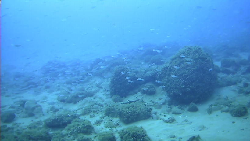
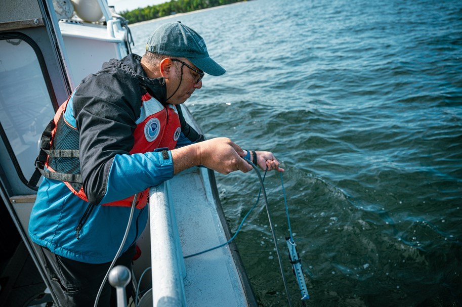
To ensure our lakebed maps are accurate, we verify our bathymetric data through a process called ground-truthing. Ground-truthing is crucial as it allows us to confirm the data collected by remote sensing technologies, ensuring that our maps accurately reflect the real-world conditions of the lakebed. This involves using:
-
- drop cameras to visually confirm what is on the lakebed, such as specific types of plants, rocks, and fish habitats,
- autonomous underwater vehicles (AUVs) and remotely operated vehicles (ROVs) to explore and capture high-quality video and still photos of hard-to-reach areas, and
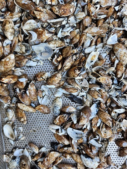
- sediment samplers to collect physical samples from the lakebed.
Ground-truthing bridges the gap between remote data collection and real-world conditions, ensuring that our lakebed maps are not only detailed, but also reliable. This accuracy is essential for making informed decisions about the protection and restoration of the Great Lakes.
We are working with several groups to develop the lakebed maps, including NOAA’s Office for Coastal Management, NOAA’s Great Lakes Environmental Research Laboratory, NOAA’s Office of National Marine Sanctuaries, NOAA’s Office of Coast Survey, the U.S. National Park Service, the U.S. Geological Survey, and Michigan Tech University, and CVision AI.
This project is funded by the Great Lakes Restoration Initiative (GLRI), a collaborative effort dedicated to protecting, restoring, and maintaining the Great Lakes ecosystem.

Benefits of Our Work
- Informed decision-making: The accurate, high-resolution lakebed maps we create will empower resource managers, scientists, and policymakers to make informed decisions about the management and conservation of the Great Lakes. Targeted restoration efforts, for instance, will ensure that resources are allocated efficiently and effectively. By understanding the lakebed’s composition and ecosystem, we can better predict and mitigate the impacts of environmental changes, such as rising water levels and coastal erosion.
- Community and economic benefits: Healthy Great Lakes are vital to the communities that rely on them. Our work helps protect the natural resources that support local economies, particularly in industries like fishing, tourism, and recreation. By preserving these ecosystems, we contribute to the long-term sustainability of these economic activities.
- Long-term monitoring: The benefits of our work extend beyond immediate restoration efforts. By creating a comprehensive and accurate record of the lakebed and its ecosystems, we are laying the groundwork for ongoing monitoring and future restoration initiatives. This long-term approach ensures that the Great Lakes will continue to be a vital and vibrant part of our natural heritage for generations to come.
