Nearshore marine areas around the Commonwealth of the Northern Mariana Islands have diverse ecosystems that provide people with seafood, recreation opportunities, and coral reefs that buffer storm surges. However, many of these areas lack the habitat mapping data needed for local officials to manage them properly. We will develop nearshore habitat maps for high-priority areas around the Tinian Military Lease Area to help inform the U.S. Navy’s monitoring and management of the lease area.
Why We Care
In 2019, the U.S. Navy, in cooperation with federal and local agencies, prepared an Integrated Natural Resources Management Plan (INRMP) for Joint Region Marianas (JRM) administered and submerged lands in Guam and the Commonwealth of the Northern Mariana Islands (CNMI). This INRMP complies with the Sikes Act (16 U.S. Code 670a et seq.), which requires the preparation, implementation, and review for operation and effect of an INRMP at all U.S. Department of Defense (DoD) installations in the U.S. and its territories that contain significant natural resources. The purpose of the JRM INRMP is to maintain long-term ecosystem health and operational requirements of the DoD mission while minimizing impacts to natural resources at JRM sites, provide a conservation benefit to federally protected species and their designated critical habitats under the Endangered Species Act (ESA), and establish a list of management projects designed to protect species and their habitat at JRM sites.
For the marine environment, the JRM INRMP’s list of management projects provides ways to research, monitor, manage, and restore affected ecosystems, as described under Executive Order 13089. Local staff from Naval Facilities Engineering Systems Command (NAVFAC) Marianas requested that a baseline benthic habitat map be created for JRM leased submerged lands in the Tinian Military Lease Area (MLA), CNMI. This updated map and associated products will be used to inform their monitoring and management decisions.

What We Are Doing
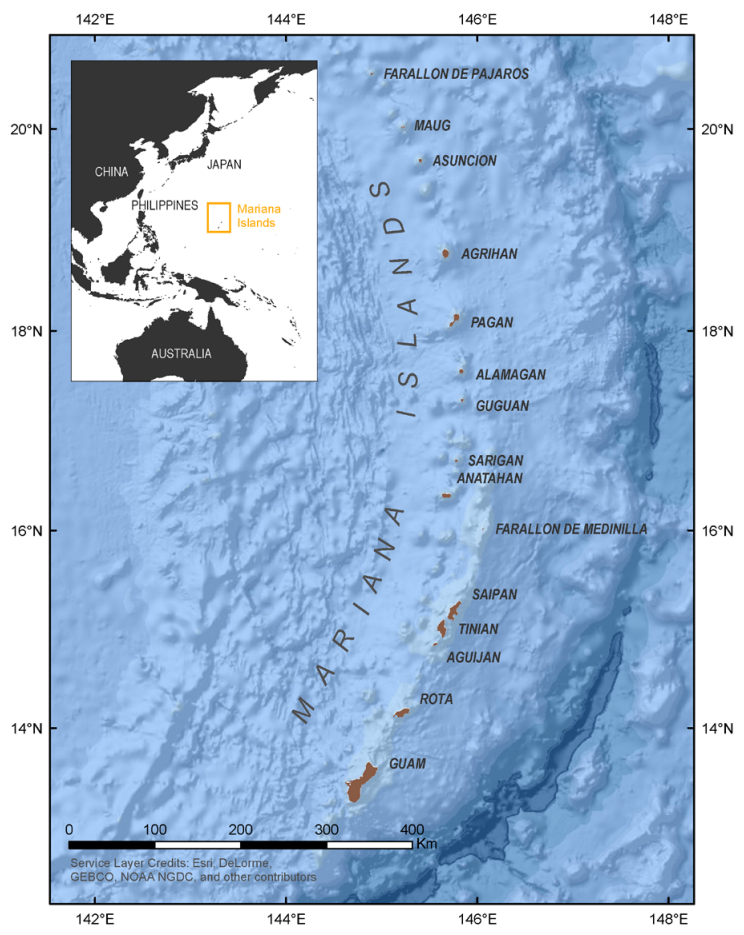
NCCOS will create maps that depict the distribution of key benthic habitats (e.g., live coral reefs, seagrass, algae, and bare sand habitats) in high-priority coastal areas of interest between water depths of 0 and 40 meters in the Tinian MLA (Figure 1). The maps will be developed using LiDAR data collected by USGS/NOAA in 2019–2020, existing high-resolution multispectral satellite imagery, and other geographic spatial predictors. New underwater georeferenced videos or photos will be collected to inform habitat model and map development, and evaluate the performance and accuracy of these products. The final deliverables will include GIS-ready habitat prediction maps and underwater three-dimensional scenes created using a photogrammetric method called Structure from Motion (SfM). These products and datasets will all be made available for access through NCEI, CORIS, and NCCOS project sites, and visualized through NCCOS web mapping services.
Benefits of Our Work
Understanding the spatial distribution of seafloor habitats in the Tinian MLA is important for both local and regional coastal resource management. Habitat maps will help guide management decisions and preserve sensitive habitat areas. Also, coastal and offshore benthic habitat maps give industry, regulators, and special interest groups environmental information to make more comprehensive planning decisions on future infrastructure, such as offshore energy facilities or other local construction projects. Detailed fish habitat data collected for the project will help managers preserve future recreational and commercial fisheries. The data collected can also inform the design and evaluation of marine protected areas for both natural and cultural resources. Finally, creating habitat prediction maps is beneficial to coastal tourism, whereby managers can help educate and guide tourism use of local marine ecosystems.
This work will include partnerships and feedback from NOAA’s Coral Reef Conservation Program (CRCP), NAVFAC Marianas, NOAA Pacific Islands Regional Office (PIRO), University of Guam (UOG), and CNMI territorial government agencies. The work is being funded by NAVFAC Marianas.