We are part of a collaborative, multi-agency effort that is developing habitat maps and modeling tools to address emerging littoral management issues in the Great Lakes.
Why We Care
The Great Lakes provide drinking water, food, transportation, power, and a wide array of recreational opportunities to millions of people. Unfortunately, the lakes are under threat from a variety of natural and anthropogenic disturbances, such as habitat loss, invasive species, pollution, and impaired water quality.
What We Are Doing
The Great Lakes Restoration Initiative (GLRI) is a collaborative effort driving protection, restoration, and maintenance of the Great Lakes ecosystem. This project is one of many supported by GLRI and is focused on putting lakebed maps, which are essential to effective ecosystem protection and restoration, in the hands of resources managers, scientists, and the public.
Lakebed habitat maps support Great Lakes restoration by:
- identifying the location and impacts to native fish habitats,
- prioritizing sites for restoration,
- identifying the spatial distribution of important bottom resources,
- providing habitat baseline information for monitoring studies, and
- identifying and protecting shoreline sites vulnerable to lake level changes and coastal erosion.
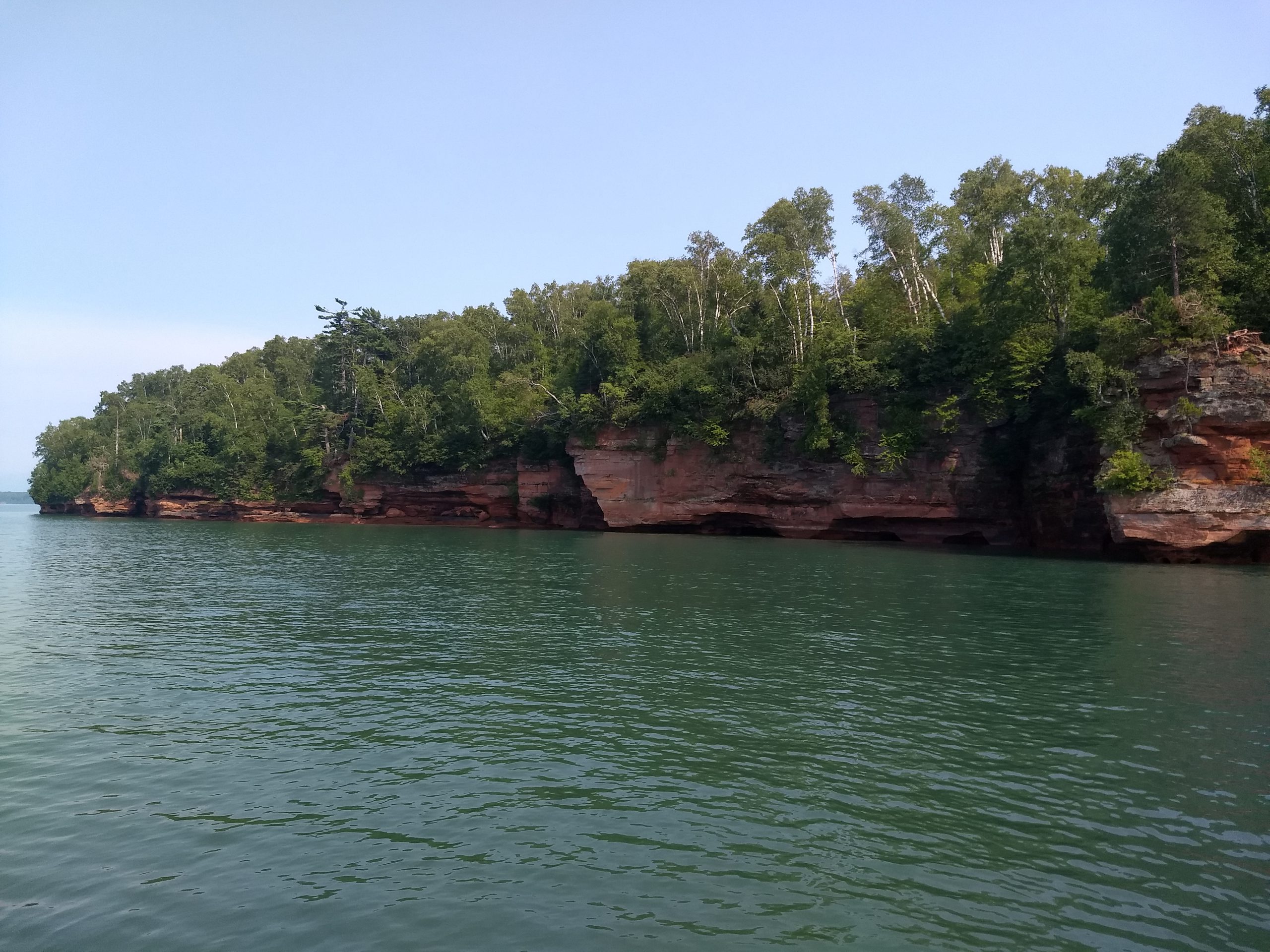
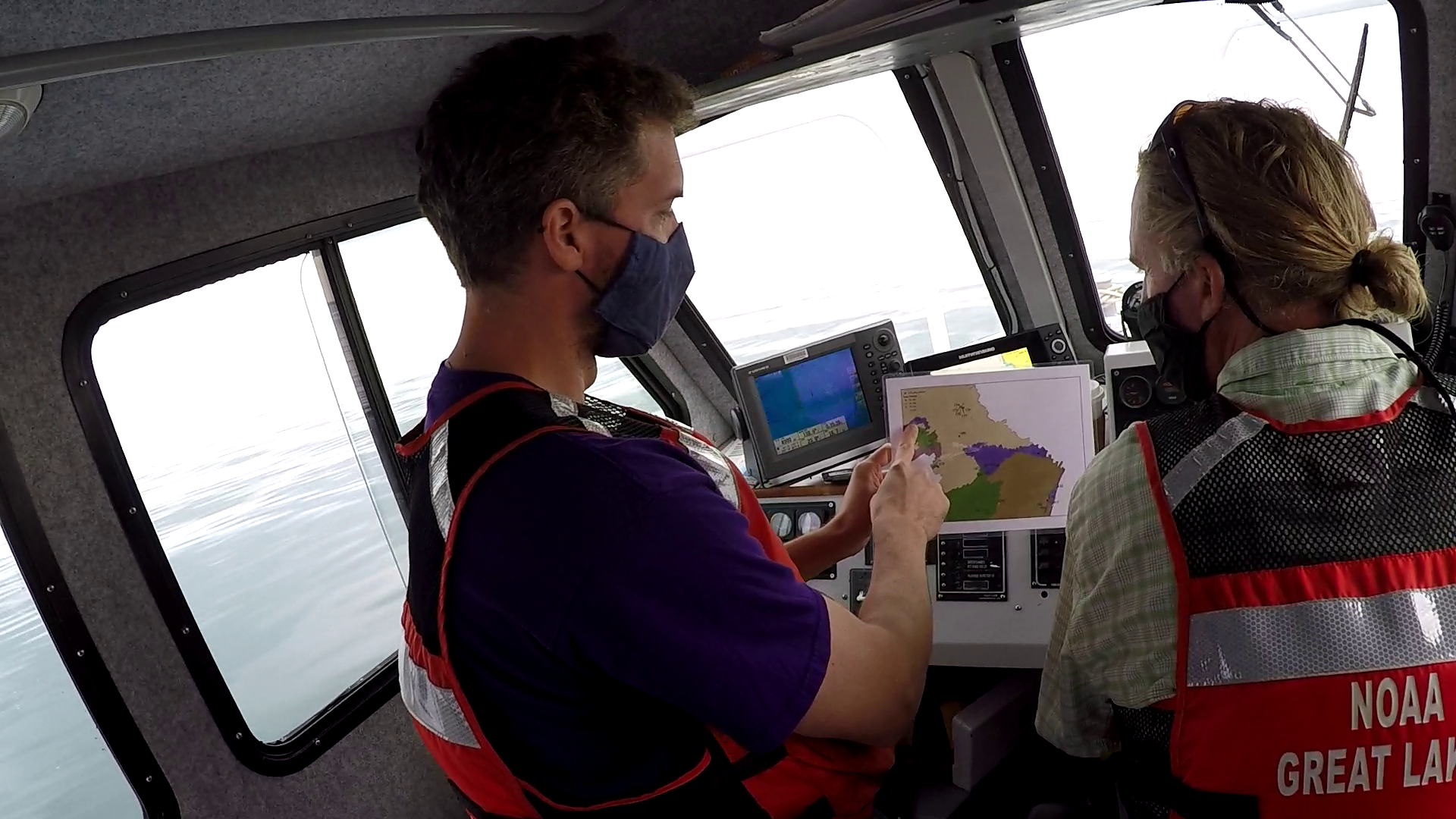
This project is focused on the waters off Wisconsin’s Apostle Islands and Bayfield Peninsula in Lake Superior. Coastal managers identified this area as a high-priority site with significant littoral management issues, such as habitat loss and water quality degradation. To date, the project team used a multibeam echosounder to survey 83 square kilometers of lakebed, then collected underwater ground-truthing videos at 423 sites. Now, the team is in the process of interpreting the underwater videos to ground-truth the multibeam data, and will then generate maps of lakebed geoforms, substrates, and biotic cover.
As we interpret videos, we are working with project partners to use and refine the Coastal and Marine Ecological Classification System (CMECS) in the Great Lakes environment. This activity has resulted in a community of practice that is sharing information and learning from each other and has led to the development of ground-truthing best practices in the Great Lakes.
This work builds on past NCCOS lakebed mapping projects, including Lakebed Mapping and Assessing Ecological Resources off Wisconsin’s Lake Michigan Coast and Lakebed Mapping in Thunder Bay National Marine Sanctuary, Lake Huron.
We are working with several groups to develop the lakebed maps, including NOAA’s Office for Coastal Management, NOAA’s Great Lakes Environmental Research Laboratory, NOAA’s Office of National Marine Sanctuaries, NOAA’s Office of Coast Survey, and the National Park Service.
Next Steps
After completing lakebed maps for the study area in Wisconsin’s Lake Superior waters, NCCOS and project partners plan to map other high-priority areas in the Great Lakes. For example, the team will use multibeam survey data collected off of Sleeping Bear Dunes National Lakeshore in Michigan to develop new lakebed maps.