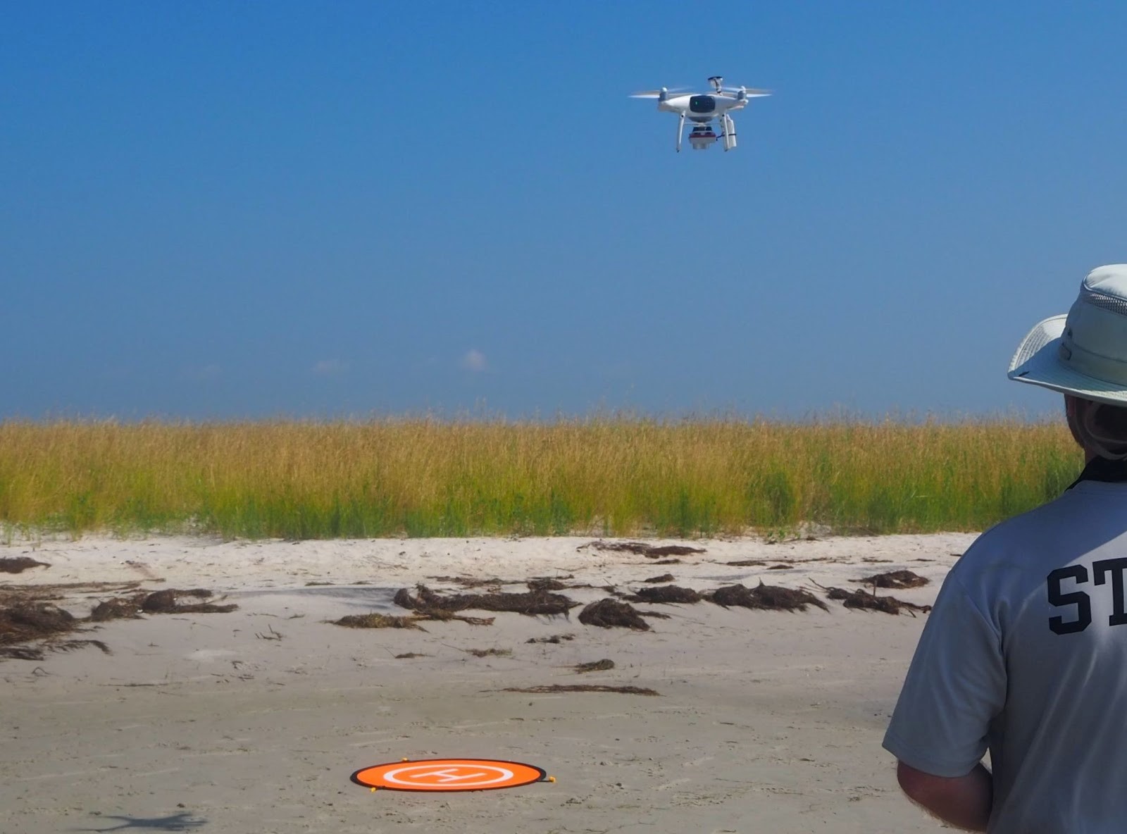
Uncrewed Aircraft Systems (UAS) are often used in scientific observations of land- and seascapes, taking photographs or video, and mapping areas on a large scale that cannot be achieved solely through on-the-ground observations. NCCOS scientists partnered with the National Estuarine Research Reserve System (NERRS) and Duke University to analyze the benefits of, and study techniques for, using UAS to survey and assess coastal wetlands.
The study, published in Frontiers in Remote Sensing, shows that UAS-based products can provide accurate and repeatable estimates of marsh plant coverage in coastal salt marshes and can be valuable for tracking elevation changes and assessing wetland structural characteristics.
Despite being highly productive ecosystems increasingly seen as valuable resources worthy of protection, coastal wetlands are continuing to suffer area loss and degradation from storm erosion, coastal development, and sea level rise. Monitoring and mapping these areas for change detection is central to understanding resilience to shifting environmental conditions and informing coastal management decisions.
UAS-based methods are becoming increasingly popular for monitoring coastal wetlands, however, there are not many standardized imaging protocols and analysis methods across studies. This study identifies sources of uncertainty in mapping products and provides recommendations for optimal survey designs, allowing scientists and managers to create and compare rigorous estimates of coastal habitat metrics.
The study concludes that the quality of UAS-based mapping products can be substantially impacted by survey design. The use of many Ground Control Points distributed regularly improves 3-dimension positional accuracies of mapping products. Structured flight planning and operational parameters, such as survey altitude, impact product resolution and surface model error. UAS can be used to estimate plant biomass and other vegetative characteristics that are comparable in accuracy to manually collected data, and can create reliable marsh surface models. These conclusions lay the groundwork for a standardized methodology for UAS-based monitoring of coastal wetlands.
STORY UPDATE (November 1, 2022): The research team published UAS best practices guidelines for entry-level users interested in using the technology to complement on-the-ground, coastal wetland monitoring efforts.