NCCOS and partners have published guidance on using aerial drones to detect changes in vegetated wetlands. Based on lessons learned in the field over two years, the publication provides entry-level users with best practices for image collection and analysis to create high-quality, two- and three-dimensional mapping products.
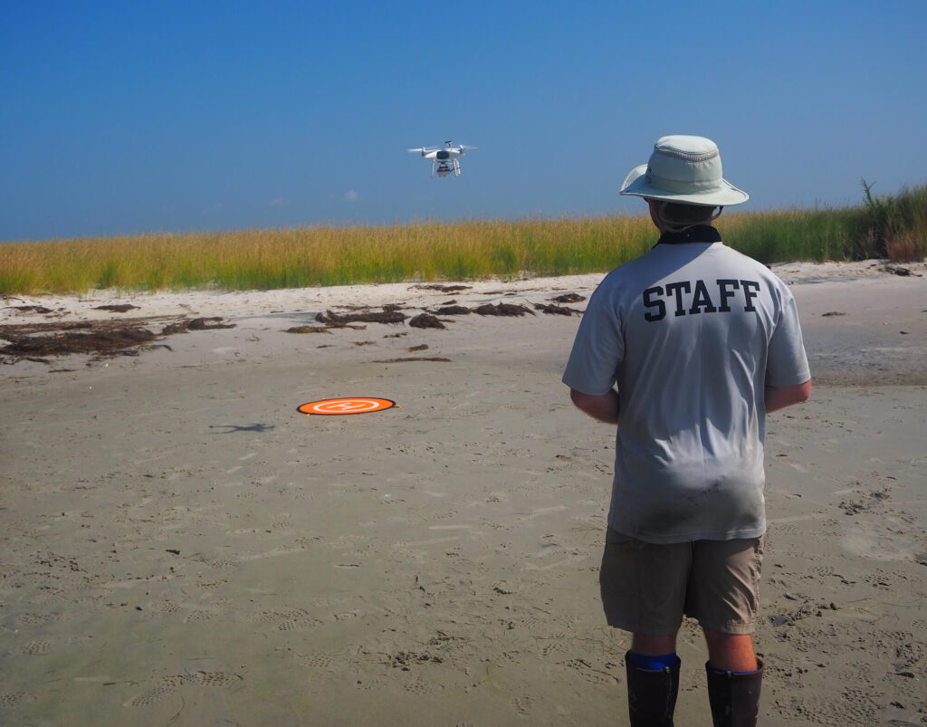
The high-resolution sensors that come standard with many Uncrewed Aircraft Systems (UAS) — “drones” — combined with advancements in flight planning and image processing software, enable the detection and quantification of change at spatial and temporal scales that are meaningful to natural resource managers. Despite this potential value, a lack of guidance on how best to implement UAS technology has been a barrier to its widespread adoption by habitat monitoring programs.
Historically, research teams have used satellite imagery for large-scale, spatial and temporal analyses of marshes. However, researchers often do not control the satellite image collection schedule, making it challenging to acquire images for the same season, cloud cover, and tidal stage, all of which can strongly influence or prevent interpretation. Further, satellite imagery rarely has sufficient resolution to detect change at spatial scales that are important to marsh managers.
Drones offer a low-cost (many are less than $1,500), flexible way to obtain the accurate, high-resolution images needed to detect wetland changes over both long (sea level rise) and short (after a hurricane) time scales.
The new publication addresses flight planning, image collection, Structure from Motion photogrammetry (approximating three-dimensional structure using two-dimensional images), and habitat mapping. The guidance is tailored to entry-level drone users who aspire to use aerial drones to complement on-the-ground, field monitoring efforts without becoming experts in image analysis.
NOTE: The research team’s assessment of UAS technology for coastal wetland monitoring also appears as a peer-reviewed article in Frontiers in Remote Sensing.