Coastal managers need accurate flood forecasts to protect communities from inundation. New research, funded in part by NCCOS, improves how levees are represented in flood models used to identify vulnerabilities in large urban areas.
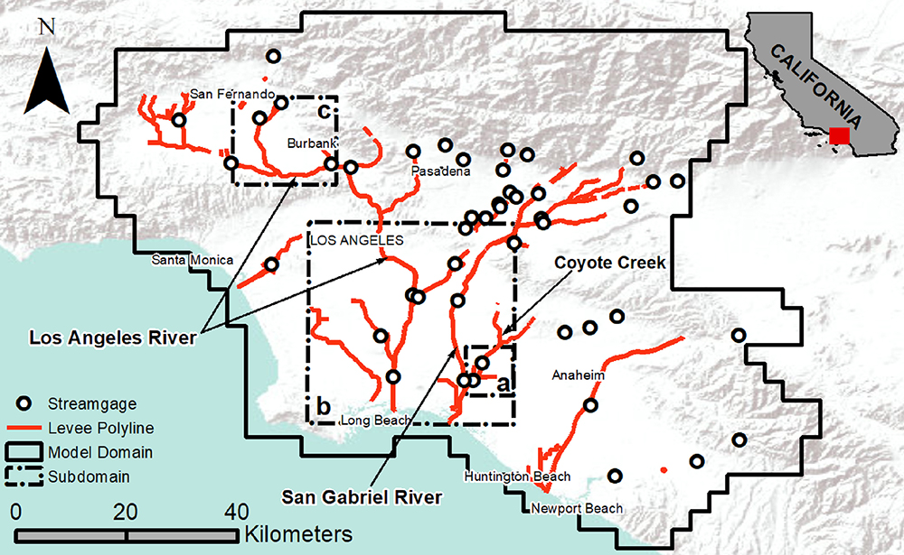
The Los Angeles metropolitan region, home to roughly 19 million people, served as the case study for the project. With urban development blanketing a coastal plain below steep mountains, the region is vulnerable to flooding disasters from atmospheric river rainfall events that generate fast-moving runoff filled with mud and debris that can overwhelm infrastructure.
All models deal with tradeoffs between model resolution and the amount of effort required to run the model. Models that predict information at fine scales take longer to run, while models that predict information at large scales may not capture small, yet important, details. Historically, levees have been only crudely estimated in large-scale flood models for urban areas.
To address this problem, the researchers developed a coarse-grid edge classification method that sharpens the representation of levees. The team used two different map grids: a fine-resolution grid that stores topographic data representative of flow pathways and blockage features on the land surface, and a coarse-resolution grid that selectively samples the detailed topographic data to carry out the flow routing process. This innovative, dual-grid approach provides both the accuracy of the fine-resolution grid and the computational speed of the coarse-resolution grid, resulting in a model that accurately reflects the impact that narrow features like levees have on flooding, despite these features not taking up full grid cells in the model.
Continued improvements of this type are important for coastal managers who rely on inundation models to plan and implement flood protection measures. The project received funding from NCCOS’s Effects of Sea Level Rise Program; find out more about the project here. This project is led by Dr. Brett Sanders (U.C. Irvine).