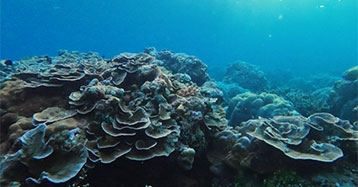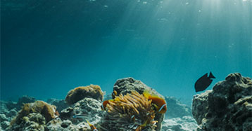
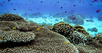

Characterizing Benthic Habitats in Haputo Ecological Reserve Area, Guam

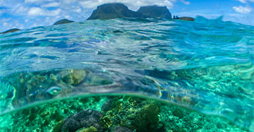
Mapping Habitat Change in Saipan Lagoon, CNMI

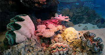
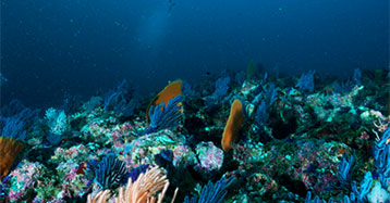
Seafloor Characterization of the U.S. Caribbean

Mapping Coastal Elevations and Water Depths Using Unmanned Vehicles (Drones)
Characterizing Benthic Habitats in Haputo Ecological Reserve Area, Guam
Mapping Habitat Change in Saipan Lagoon, CNMI
Seafloor Characterization of the U.S. Caribbean
Mapping Coastal Elevations and Water Depths Using Unmanned Vehicles (Drones)