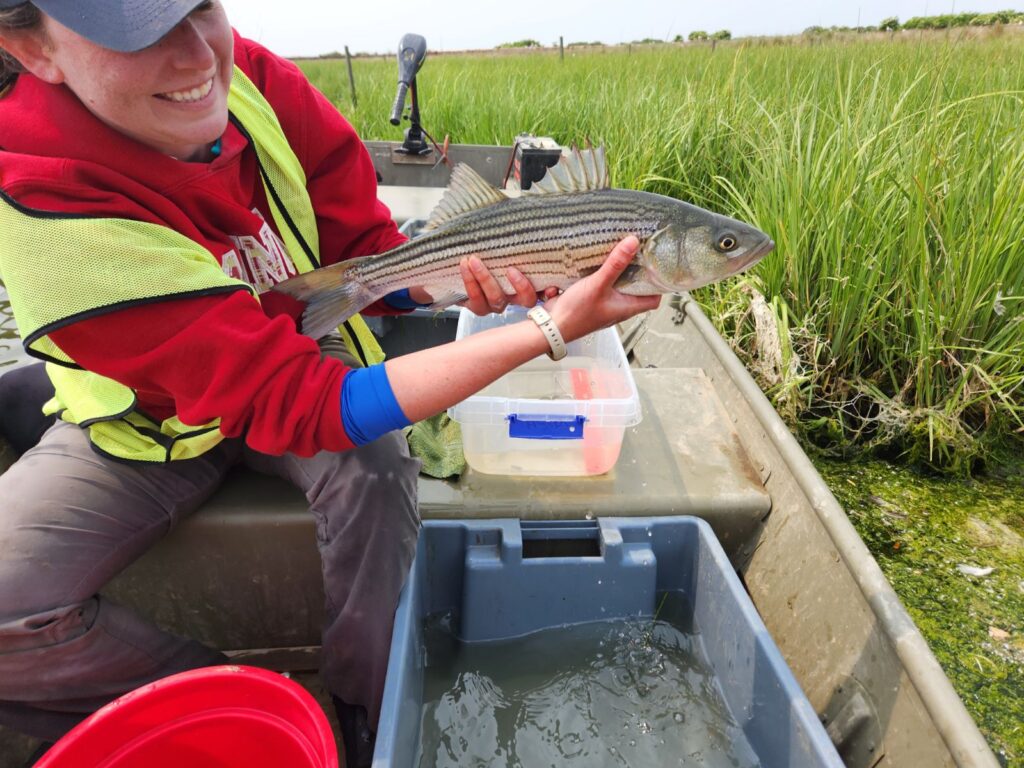
In partnership with the U.S. Army Corps of Engineers Engineering With Nature® Initiative, we are using acoustic telemetry to track fish movements in engineered and restored habitats to determine how fish use these areas. This will help us understand how to design future restored and engineered habitats to support fish movements.
Why We Care
Fish and other wetland organisms play a key economic and cultural role in Chesapeake Bay. Understanding their habitat preferences and movements in marshes is essential to responsibly manage coastal ecosystems and sustain healthy fish populations. This need is especially critical in habitat restoration projects pre-, during-, and post- construction to inform future design of engineered marshes and wetlands.
These habitat restoration projects include efforts from the U.S. Army Corps of Engineers (USACE) Engineering With Nature® (EWN®) Initiative, which aligns natural and engineering processes to deliver economic, environmental, and social benefits. Understanding the function of engineered habitats developed through this initiative is important for measuring efficacy and to help inform design of future restored and engineered habitats.
What We Are Doing
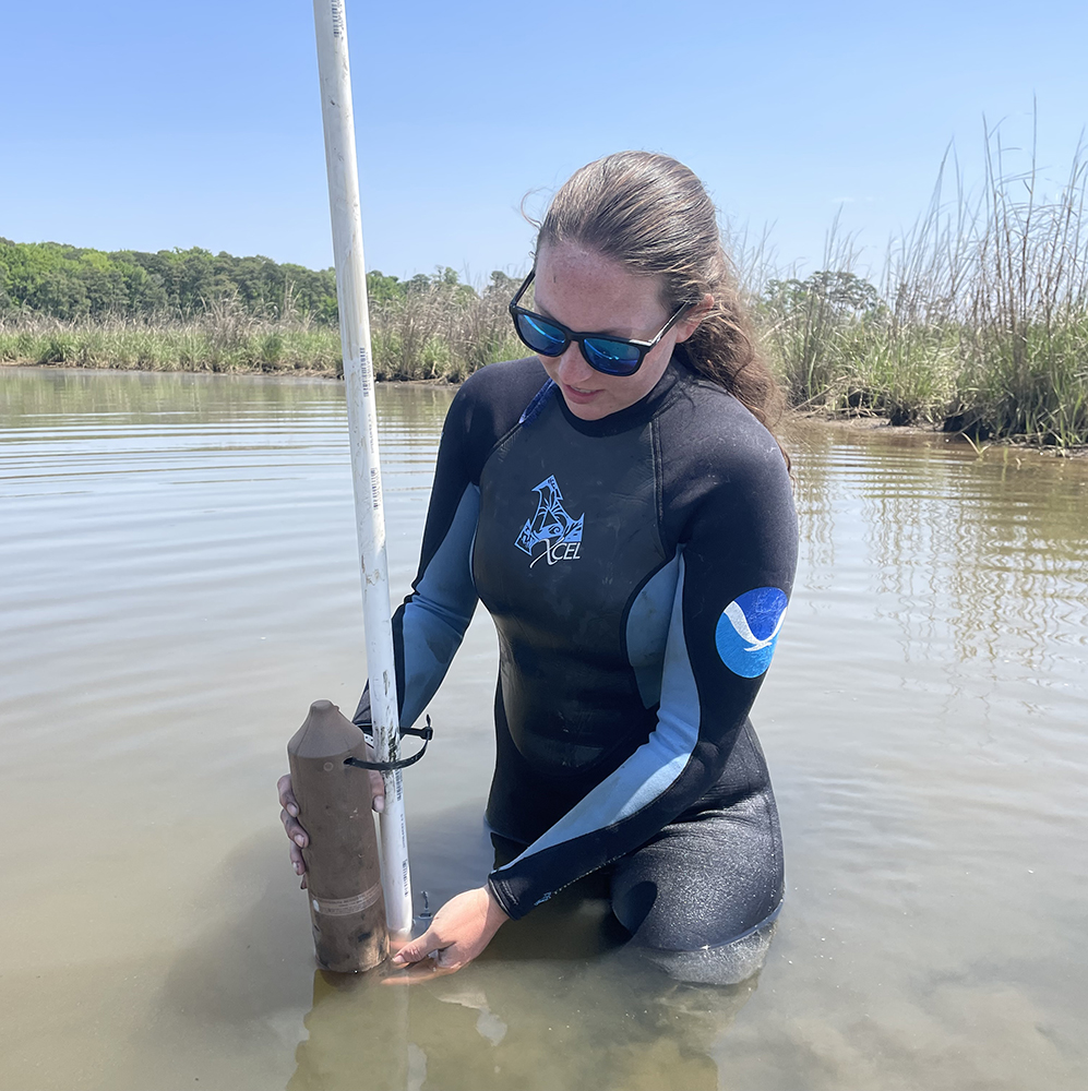
NCCOS is partnering with USACE, the Maryland Department of Transportation Maryland Port Administration (MDOT MPA), and the NOAA Chesapeake Bay Office to track fish movements in engineered and restored marshes. Beginning in May 2023, we will attach coded transmitters to dozens of fish and other aquatic organisms and use an array of automated data loggers to track their locations over the next two years.
Sites include an EWN® restoration effort at the Paul S. Sarbanes Ecosystem Restoration Project on Poplar Island, Maryland. Once a thriving community in the Maryland portion of Chesapeake Bay, the combined forces of erosion, sea level rise, and subsidence reduced the area from over 1,110 acres in 1847 to small islets totaling only 4 acres by 1990. Federal and state partners from USACE and MDOT MPA have jointly sponsored a project to restore this lost remote island habitat through the beneficial use of dredged material collected nearby. Upon completion, the restoration will result in 1,715 acres of developed wetland, upland, and open water embayment habitats.
Benefits of Our Work
The study is expected to demonstrate which aspects of the engineered and restored habitats, such as creek size and shape516 and culvert type, are most used by fish and other wetland species, which will increase the effectiveness of restoration efforts.