We are investigating how coastal flooding is impacting surface transportation networks in Hampton Roads, VA. This work combines hydrodynamic, morphodynamic, pavement, and economic models to predict the effectiveness of natural and nature-based features to protect and increase the longevity of the transportation system.
Why We Care
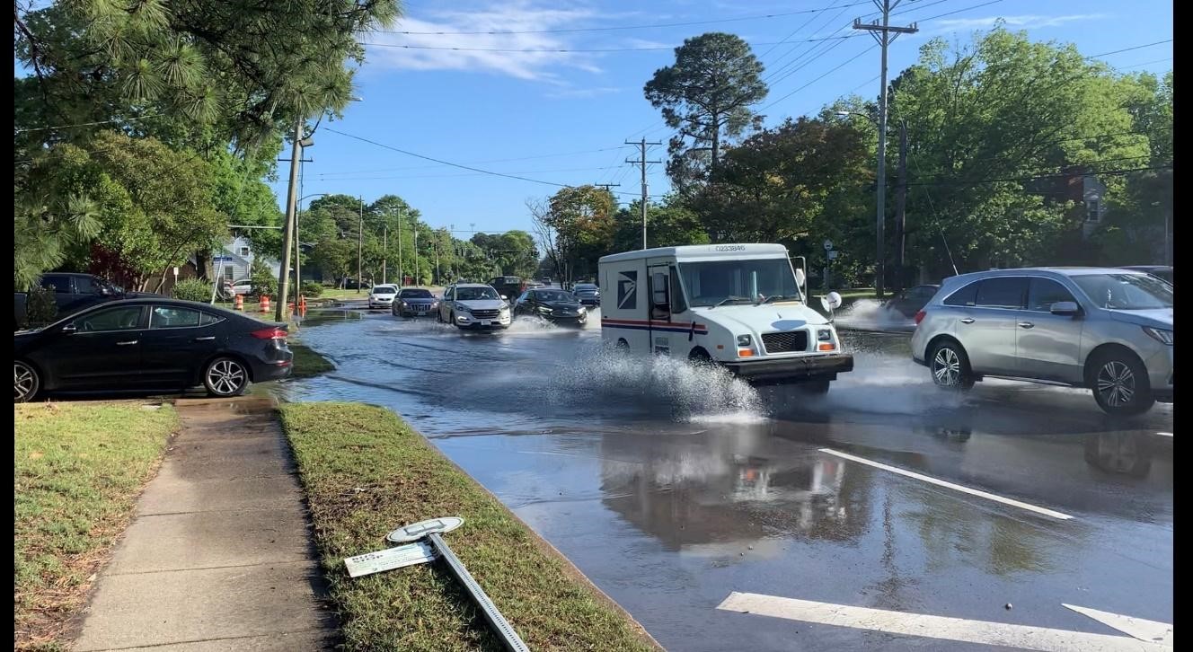
There are critical gaps in the understanding of how flooding results in surface transportation network degradation, which is needed to be able to assess the performance of flood protection systems. There is a national shift in preferred coastal protection measures from traditional hardened coastal structures to natural and nature-based based features (NNBFs), and it is imperative to quantify the performance of policy actions, and natural and traditional flood mitigation approaches to inform economically sound transportation planning under sea level rise. The Hampton Roads region in southeast Virginia has the highest relative sea level rise rate in the U.S. East Coast, which is correlated with an increasing rate of roadway recurrent flooding. The region is also at risk of flooding from compounding drivers (e.g. rainfall and river, coastal, and groundwater water levels), which can create higher water levels than would be predicted by a model that only focuses on one driver. Therefore, a modeling framework that accounts for all of these drivers must be considered. Accelerating flood vulnerability of the roadway network from multiple drivers, socioeconomically diverse communities, and economic and national security significance make the region a natural testbed for the proposed modeling framework.
What We Are Doing
To provide guidance on the effectiveness of different flood mitigation approaches for protecting surface transportation networks from compound flooding, a new dynamic and integrated modeling framework of existing models is proposed. The framework employs hydrodynamic and morphodynamic modeling (ADCIRC+SWAN, Delft3D, XBeach) to calculate recurrent and intense flooding over future coastal landscape and will use regression models to predict the resultant property loss. Subsequent analyses will derive pavement response using a finite-element model, flood-induced mobility loss in surface transportation networks using an agent-based model, and regional economic impacts. Sites will be identified across the study region that represent flood prone areas, diverse NNBF types, and a cross-section of communities.
Benefits of Our Work
The project will allow for more connected consideration of the surface transportation network and flood mitigation actions in the study region and allow for greater consideration of innovative natural and nature-based flood mitigation designs than ever before. The economic impact analysis combined with existing social vulnerability assessments will provide an evaluation of social impacts of sea level rise, policy actions, NNBF projects, and conventional flood protection projects. Regular engagement with the Virginia Department of Transportation and other local, regional, and state decision makers and the public will ensure project outcomes are applied to coastal decision making in Virginia.
The project is led by Dr. Navid Tahvildari of Old Dominion University (ODU) Department of Civil and Environmental Engineering, and includes collaborators from ODU: Dr. Mecit Cetin, Dr. Tom Allen, Dr. Gangfeng Ma, Dr. Kun Xie, Dr. Robert McNab, and George McLeod, and University of Colorado Boulder: Dr. Maryam Shakiba.
This project is part of the NCCOS Effects of Sea Level Rise Program Program.