Coastal wetland sediments are efficient carbon sinks that continuously store carbon as they vertically accrete. Carbon that is buried in wetland sediments can remain trapped there for hundreds to thousands of years. This trait has led to the development of carbon marketing processes aimed at incentivizing the restoration, creation, and protection of coastal wetlands. We are quantifying carbon stock at sites of various ages and restored through different strategies to understand how they may qualify for carbon offsets and contribute to the Blue Economy.

Why We Care

The relatively recent development of carbon crediting mechanisms for blue carbon habitats (coastal salt marshes, mangrove forests and seagrass beds), combined with predictions of substantial losses of these habitats in the coming decades due to sea level rise, are fueling interest in their blue carbon value. Much of this interest is focused on the potential for blue carbon crediting to financially incentivize restoration by helping to offset the costs of project construction and/or maintenance.
While we know that natural blue carbon habitats uptake carbon through photosynthesis and bury it in their soils for centuries, we don’t currently know how habitat restoration activities impact carbon uptake and burial.
Restored habitats take a number of years to begin to look and function as their natural counterparts do. Previous research suggests that it may take decades for the soil of restored blue carbon habitats to reach equilibrium similar to that of natural blue carbon habitats. Understanding the pace at which created and restored habitats develop will help to accurately forecast their carbon storage potential and by extension, their value for crediting purposes.
What We Are Doing
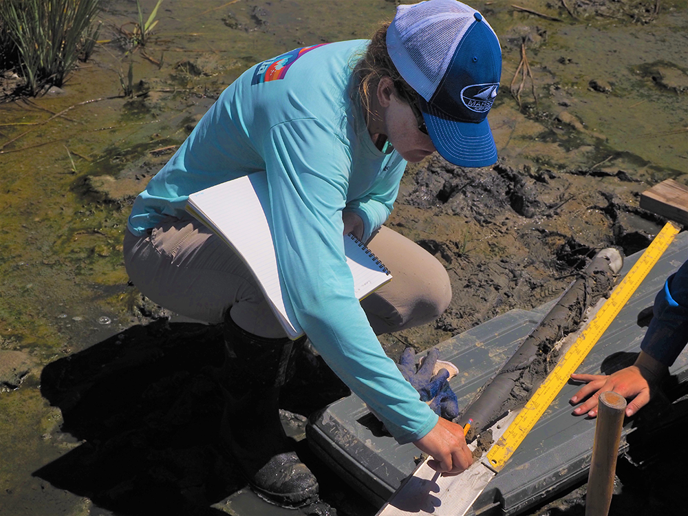
To address the knowledge gaps surrounding blue carbon crediting potential of restored habitats, our group is visiting restored sites prior to, and up to 30 years after, restoration to measure gas flux, sediment stocks, and biomass of carbon at each site. The sites included in this effort were restored through a variety of methodologies- thin layer placement of dredged sediment, living shoreline construction including or excluding sills, and the beneficial use of dredge sediments to build estuarine islands as bird habitat. This includes sites in the Coastal Bays of Maryland, the upper Chesapeake Bay, Wildlife Resource areas in Maryland, and the back barrier of Galveston Island in Texas. In the coming year we plan to add sites in North Carolina and others to expand this dataset.
Benefits of Our Work
This work will fill an important research gap assessing the carbon value of coastal restoration projects.
