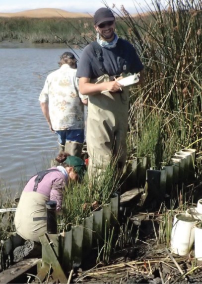
An NCCOS-sponsored project, funded in partnership with the U.S. Geological Survey (USGS), has published a “story map” that advances knowledge about tidal marshes in the San Francisco Bay-Delta estuary and their vulnerability to sea-level rise.
The project enhanced an ecosystem model that projects how sea-level rise may affect tidal marshes in the estuary, including their long-term elevation and capacity for carbon sequestration. Local partners are using the results to make natural resource management decisions.
For example, the San Francisco Bay National Estuarine Research Reserve is using data from the project to better understand the impacts of sea-level rise and other changing environmental conditions (e.g., salinity, sediment, and vegetation) on their managed wetlands. The Delta Stewardship Council has integrated project results with their climate change planning work. Finally, the Sonoma Land Trust is using project information to guide long-term planning for the Petaluma River watershed, including land acquisition and restoration efforts.
By making project data and products accessible through interactive data visualizations, the story map allows coastal managers to both understand the science and visually evaluate wetland vulnerability to sea-level rise.
The story map was created by NCCOS’s Christine Buckel, in cooperation with Christopher Janousek (Oregon State University), Kevin Buffington (USGS), Karen Thorne (USGS), and Bruce Dugger (Oregon State University).
