Beaches are highly dynamic and their shape and size is the product of sediment being transported to the coast by rivers and bluff erosion and then shaped by physical forces like the wind and waves, as well as human activities. Dr. Brett Sanders of the University of California Irvine (UCI), offered a public oriented presentation of the history of Orange County Beaches to Crystal Cove Conservancy.
The presentation is based on findings from his NCCOS Effects of Sea Level Rise (ESLR) Program-supported SedRISE project, studying how sediment management across Southern California can support sea level rise adaptation and reduce stress on ecosystems from urban growth.
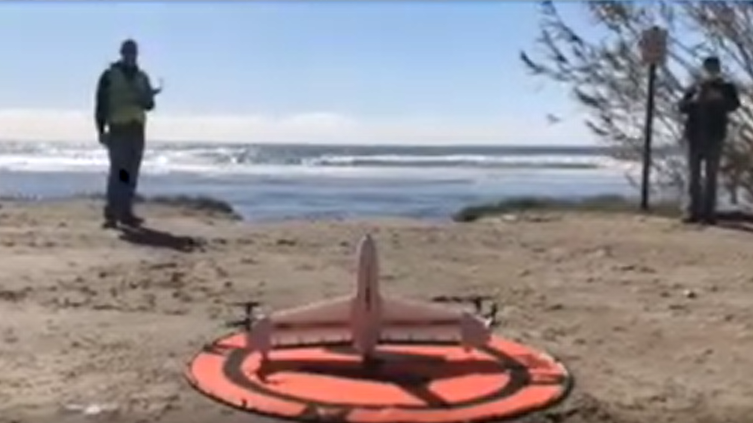
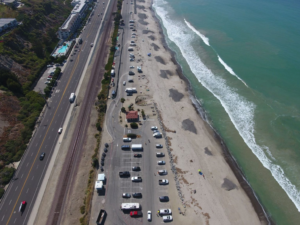
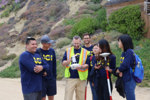
Dr. Sanders is a Professor of Civil and Environmental Engineering and Urban Planning and Public Policy at UCI, where he leads the UCI Flood Lab. The team studied the evolution of beaches in Orange County over the past century through aerial and satellite imagery, as well as drone-based observations. Dr. Sanders’ presentation to Crystal Cove Conservancy can be found in its entirety here and draws attention to the growing problem of beach loss in Orange County, CA and how it is related to disrupted supplies of sediment to the coast from urban development, flood control infrastructure and coastal armoring. The presentation also points to the major role that sediment management has played over the past century in sustaining beaches for recreation and coastal protection, and the opportunities and barriers to addressing future beach loss challenges through sediment management. The presentation and the question and answer section also highlight the need for immediate action and importance of developing science in collaboration with coastal managers, city planners, and decision makers.
Following Dr. Sanders’ presentation, Assembly member Cottie Petrie-Norris joined the forum to report on legislative efforts to cut “green” tape to support the restoration of marine life along California’s Coast with California Assembly Bill (AB) 63, to prepare for sea level rise with AB 67, and to improve the process around coastal adaptation permitting with AB 72.
The results of this work have been presented as a new Beaches website so historical and scientific information about beaches is easily accessed by diverse groups of stakeholders. The website is a joint effort between researchers and high school students who were engaged in the SedRISE project.
The study, published in the journal Ocean & Coastal Management, is part of the project Codevelopment of Modeling Tools to Manage Sediment for Sustainable and Resilient Coastal Lowland Habitat in Southern California, supported by the NCCOS Effects of Sea Level Rise Program (ESLR).