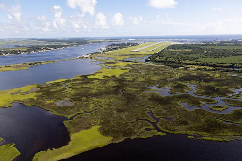
This project aims to deliver nationally consistent marsh habitat predictions with sea level rise. Leveraging a multi-agency partnership including modelers and end users, these co-developed results will provide science that informs the protection and resilience of coastal ecosystems and infrastructure.

Why We Care
Coastal marsh and estuarine environments exist at the intersection of human and ecological communities. They provide economic benefits through commercial fisheries, tourism and recreation, and offer protection to coastal communities during storm events. For salt marshes specifically, the information and predominant models used to predict habitat change are often inconsistently available, challenging to navigate, and thus underused.
This project uses a standardized approach to align the necessary data and models for producing comparable results across regions, improving user understanding of model differences and similarities, and enabling users to confidently apply model results to their coastal planning and management needs.
What We Did
The project will establish a consistent, user-informed framework for applying marsh models at the national and regional scale to gain a better understanding of multiple, plausible projections of future marsh vulnerability to sea level rise. This will be accomplished by forming a data library aggregating the required inputs for all tested models, establishing a model platform containing all tested models in a single system, and iteratively developing model predictions and communications products with a community of practice consisting of modelers and end users.
Collaborators include researchers at the United States Geological Survey (USGS Western Ecological Center and the Saint Petersburg Coastal and Marine Science Center) , community engagement specialists at PLACE:SLR, institutional and private partners in the Gulf of Mexico, and numerous NOAA programs (NCCOS, OCM, COMT). Co-leads include Davina Passeri (USGS), Karen Thorne (USGS), and Nina Woodard (PLACE:SLR).
What We Found
The project is in the initial scoping stages.
Benefits of Our Work
The national marsh modeling framework and resulting marsh predictions will:
-
- Expand the amount, quality, and accessibility of available information nationwide.
- Empower end users to make informed decisions that maximize the value of existing marshes, while ensuring space for future marshes to migrate under sea level rise.
- Improve flexibility for future modeling capabilities (e.g., expanding projects to include other habitat types such as mangroves or seagrass) so the best possible information will be available to coastal decision makers.
- Establish the predominant marsh models in a unified coding language, which will improve future expansion and move toward a performance analysis of models and formation of an ensemble model.
Next Steps
Our 2023–2024 goals include:
-
- Generating marsh predictions for three case study sites: Grand Bay NERR (MS/AL); Plum Island Estuary (MA) – Great Bay NERR (NH); and San Francisco Bay NERR (CA).
- Engaging end users to identify needs within the case study areas to inform initial product development.
Future steps include expanding to additional case study sites and regions, and iteratively designing an accessible user interface. Results from this project will also be used to accelerate the development of historical model predictions and comparisons toward informing an integrative national marsh model.
