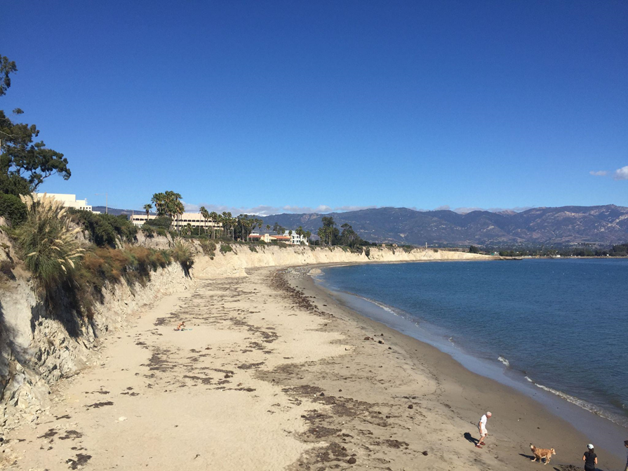
Coastal communities face increased flooding, storms, erosion, and other natural hazards worsened by climate change. Impacts from these events are felt differently across the nation and some communities are more at risk than others. Through our Community Risk Assessment Portfolio, we serve one community or region each year by spatially assessing their risk to natural hazards.
Why We Care
We serve the nation’s coastal communities and work with local partners and their stakeholders to assess community risk to environmental hazards. Working with partners directly ensures that results are locally tailored and relevant to effective planning. This work provides information to better protect, advance, and manage hazard impacts within local communities. Our assessments identify the co-occurrence of hazard exposure with demographic, structural, and geographic vulnerability.
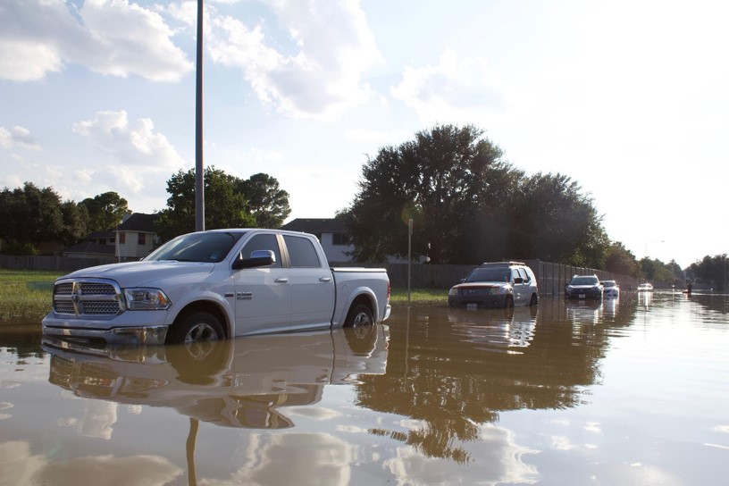
What We Are Doing
Since 2014, our team has worked with coastal communities across the country to better understand local risks and support community resilience. We partner with NOAA programs, including the Office of Response and Restoration, Office for Coastal Management, and Sea Grant, as well as other federal, state, and local organizations to identify communities that could benefit most from our services.
We define coastal communities using established federal guidelines from the Coastal Zone Management Act of 1972. To ensure our efforts have the greatest impact, we balance nationwide coverage with a focus on areas facing higher levels of risk and need. We also coordinate closely with state partners to avoid duplicating existing efforts.
When selecting communities to work with, we consider factors such as local research needs, partner availability, community support, and the capacity to take action on the results. This approach helps ensure that our services reach communities where they can make the greatest difference.
Our Approach to Research
We define vulnerability as “the propensity or predisposition of assets to be adversely affected by hazards.” All assessments include the following steps:
-
- Partner engagement
- Indicator development
- Vulnerability and hazard assessment
- Risk assessment
- Place-based analysis
- Product development and release
Our assessments provide information to municipal, regional, and federal agencies as well as their stakeholders so that communities can better protect themselves. Our tailored geospatial data and final products can be used to prioritize investments, strengthen emergency response, reduce damage, and become more resilient to current and future environmental hazards. All assessments work with a project advisory committee and often stakeholder workshops to identify and produce maps of:
-
- Demographic analysis
- Vulnerability of critical infrastructure (e.g., hospitals, schools)
- Flood hazard(s) of local importance (e.g., coastal flooding, stormwater flooding)
- At-risk communities or community assets in relation to natural hazards
In addition to providing the above information, local needs and research questions often require additional analysis. Within team capacity and data availability, each assessment also explores place-based analysis based on local context and need. All findings are made publicly available by releasing an assessment report, spatial dataset, and one communications item such as a mapbook, infographic, or storymap. These products are made publicly available through each project webpage, found at the bottom of this portfolio page.