
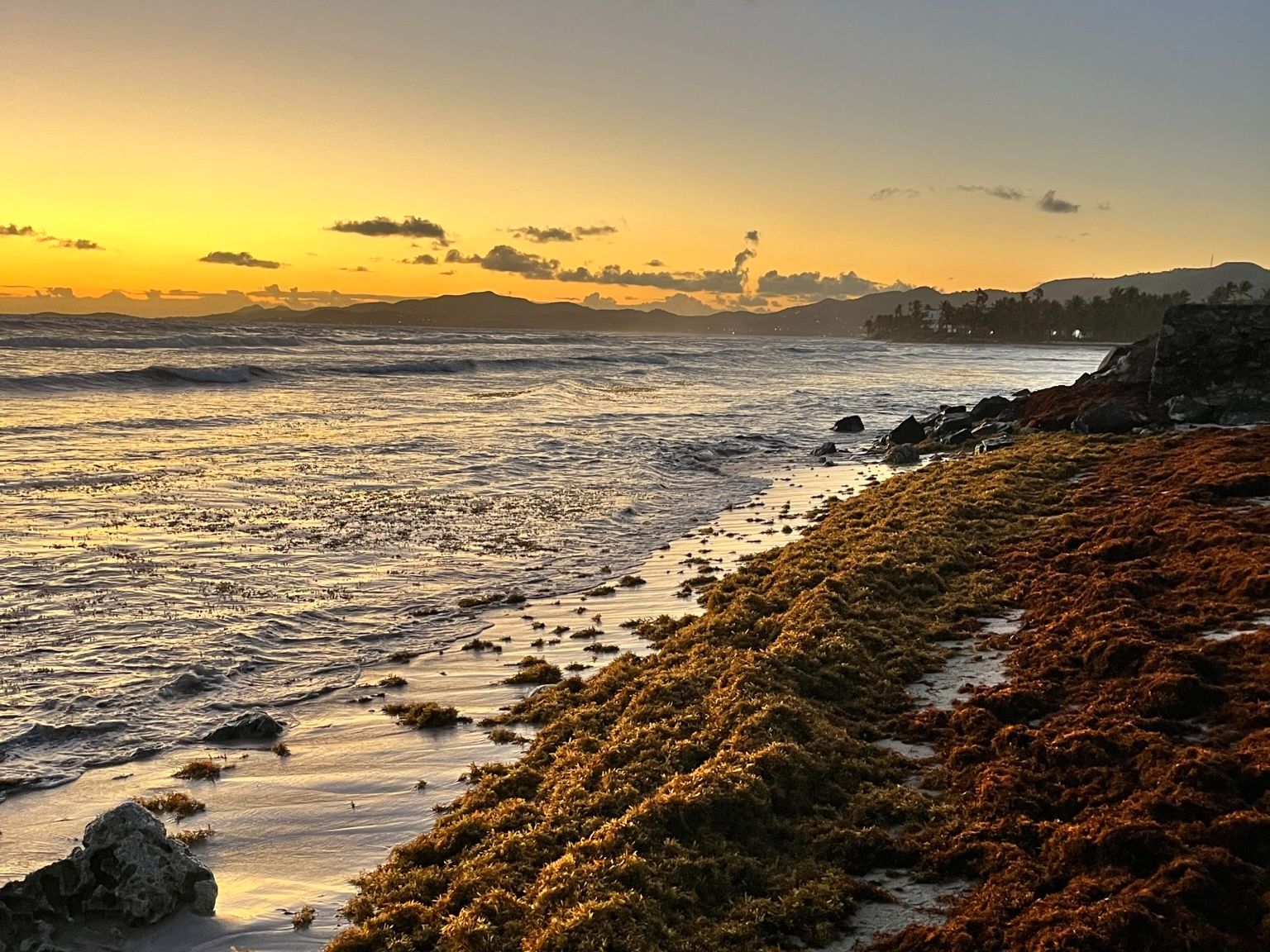
The United States Virgin Islands (USVI) are exposed to a number of climate hazards, including heavy rains, high temperatures, strong winds, and significant flooding concerns, and its resident populations are at increasing risk. However, impacts from these events are felt differently across the territory due to both natural and social systems. NCCOS social scientists worked with local partners to assess community climate vulnerability and risk in the USVI. The assessment provides an estate-level integration of vulnerability, exposure, hazard, and risk for the islands of St. Croix, St. Thomas, and St. John.
The team developed indicators of social and structural vulnerability, structural exposure, and flood hazard, and intersected them spatially to produce maps of risk and co-occurrence across USVI estates. Each map identifies priority geographies that warrant further investigation for future climate adaptation and improvement projects. Researchers also produced indices of the territory’s waterborne toxins and contaminants, vegetation, and amenity-based walkability.
Learn more about the assessment background, methodology, findings, and map products in the interactive USVI Community Vulnerability Assessment Story Map, or view the full report and mapbook.
Key Takeaways:
- Some of the territory’s most vulnerable populations have an increased risk of waterborne toxin and contaminant exposure, flooding, and more vulnerable housing.
- Many of the territory’s industrial and waste management sites, including the landfills on St. Thomas and St. Croix and St. Croix’s oil refinery, are in coastal areas at risk of flooding.
- Much of the territory’s critical infrastructure is in areas of high flood risk and also overlaps with areas of increased structural vulnerability, including around Charlotte Amalie, Frederiksted, and Christiansted.
This project relied on partnerships with the Environmental Protection Agency – Region 2, the USVI Department of Planning and Natural Resources, the University of the Virgin Islands, and NOAA’s Climate Adaptation Partnerships program to build on recent social vulnerability research and contaminants concerns in the territory. The resulting maps and data can be used by local governments, natural resource managers, community planners, and other partners to better protect, advance, and manage climate change impacts within the USVI.