The Coastal Observational Monitoring and Assessment Resource Inventory (COMARI) framework was designed to expand the utility of the organizational framework originally developed for the RESTORE Council Monitoring and Assessment Program (CMAP). The objectives of this effort are to provide the best available science to support science-based decisions and evaluate restoration effectiveness in federal, state, non-governmental organization, and academic monitoring communities. The COMARI framework can be adapted to different applications by modifying its components (e.g., focusing on different program types or lists of parameters). In addition to creating helpful resources for monitoring program metadata, this framework could help establish or strengthen existing communities of practice in regions or focal areas outside the Gulf of Mexico. The same holds true for any entity looking to gather and integrate programmatic monitoring information within any area of interest, geography, or subject matter.
What We Did
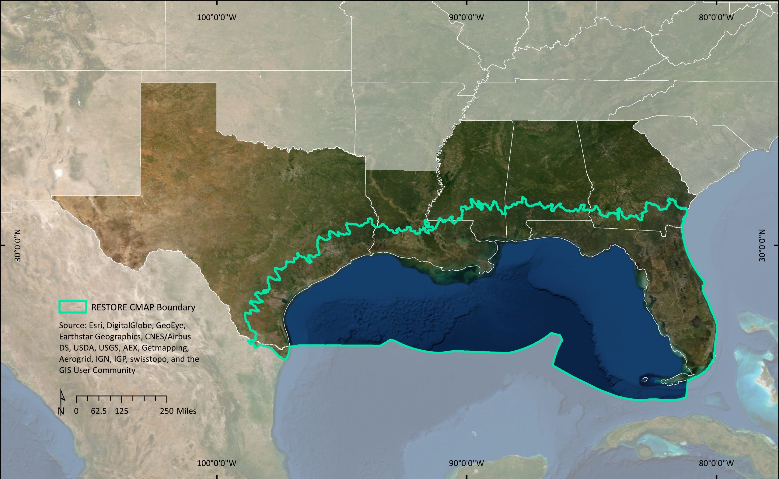
The COMARI Framework was collaboratively engineered for CMAP by NOAA and U.S. Geological Survey staff and the formation of a Monitoring Community of Practice, led by the Gulf of Mexico Alliance, and a Monitoring Coordination Committee, composed of representatives from other Deepwater Horizon programs. The objectives were to leverage existing resources, capacities, and expertise to establish a network of monitoring programs in the Gulf. Two phases of CMAP were supported by an inventory built with the COMARI framework for the Gulf where Phase 1 focused on existing water quality and habitat monitoring programs, and habitat mapping programs and Phase 2 included living marine resource monitoring programs. The framework was peer reviewed and is scalable both in scope and region size. An ArcGIS dashboard was developed to provide access to tabular and spatial programmatic information from both phases.
Phase 1
Phase 1 tasks included:
- The development of a framework
- The development of a comprehensive inventory of existing habitat and water quality observations, monitoring, and mapping programs
- Identification of the minimum monitoring program attributes
- Evaluation of monitoring program suitability for the RESTORE Council
- Compilation of metadata from suitable existing programs
- Identify inventory topical and spatial gaps
- Cataloging existing assessments of habitat and water quality conditions
- Provide recommendations to the RESTORE Council for sampling methods and parameters
Phase 2
The continuation of this project, conducted by NOAA, was designed to leverage continuing collaboration with regional partners in the planning, design, and implementation of integrated, collaborative conservation actions. The inventory’s versatility and ease of use resulted in requests to include living marine resource (marine mammals, sea turtles, birds, fish, and invertebrates) monitoring programs.
During both phases, we conducted user workshops to solicit needs and review program objectives from local, state, federal, academic, and non-governmental entities in the Gulf; assisted the Gulf of Mexico Alliance in selecting a Monitoring Coordinator; and facilitated the first Monitoring Community of Practice Workshop with the Gulf of Mexico Alliance.
Benefits of Our Work
This project helps to provide the best available science to RESTORE Council and other regional decision makers as well as supporting Gulf restoration, monitoring and research communities in the Gulf by providing a single reliable access point for monitoring and assessment metadata that will point interested parties to data, methods, standards and publications.
Next Steps
Database maintenance and new program review will be performed every other year starting in 2026. A case study investigating the application of the COMARI framework centering on management areas, such as national marine sanctuaries was started in January of 2025 and is expected to be completed in December 2025.