NCCOS, USGS, and NOAA Fisheries developed a new web-accessible database of water quality and habitat monitoring and mapping programs in the Gulf of Mexico. The database, called the Gulf Coast Monitoring & Assessment Portal, supports restoration activities funded by the Gulf Coast Ecosystem Restoration Council.
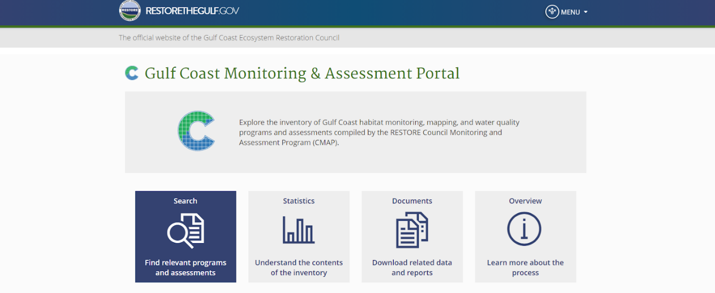
The new portal includes essential information from 544 environmental monitoring and mapping programs in the Gulf of Mexico to support the development, selection, and application of management and restoration activities. The database supports restoration activities funded by the Gulf Coast Ecosystem Restoration Council, established after the 2010 Deepwater Horizon oil spill.
Portal data can be used to inform adaptive management decisions at the local, state, and regional levels. The portal is the final product from the RESTORE Council Monitoring and Assessment Program, led by NCCOS, USGS, and NOAA Fisheries.