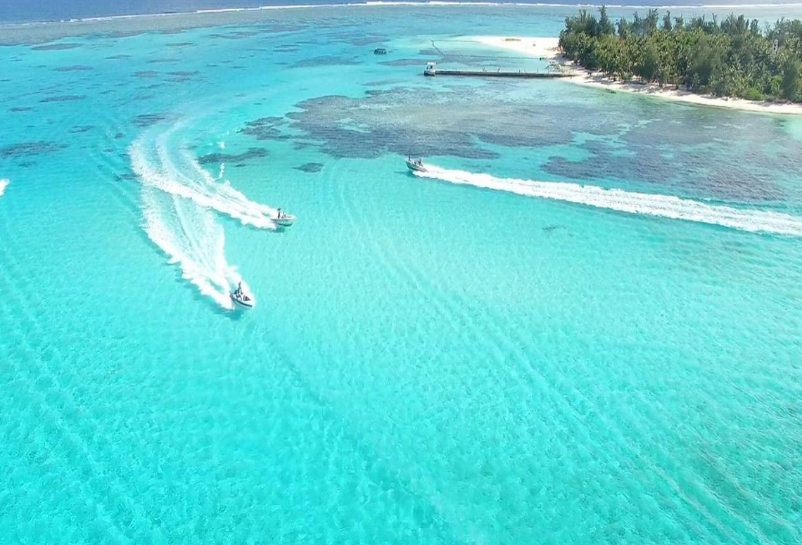
Branching corals are valuable for coastline protection, but also highly vulnerable to a changing climate. We will predict the location of these branching corals at select locations around Saipan, Commonwealth of the Northern Mariana Islands (CNMI), using machine learning and novel information about the seafloor (called bathymetric Lidar waveforms). The resulting maps will help local managers identify and prioritize branching coral reefs for future protection and restoration.
Why We Care
Many organizations, including NOAA, need effective approaches to evaluate and predict changes in coral reefs at multiple, ecologically meaningful scales (i.e., centimeters to meters to kilometers). This ability requires the use of modeling approaches to integrate in situ and environmental data to create continuous, spatial predictions across broad regions. This type of spatial information is critical for a variety of management needs, including identifying reefs that are valuable for coastline protection but also highly vulnerable to a changing climate.
Identifying these valuable but vulnerable reefs requires not only an understanding of their location, but also their composition and morphologies (i.e., shapes). Notably, corals with branching morphologies (e.g., Acroporids) are more vulnerable to damage from rising sea levels, increasingly acidic oceans, and more frequent maritime activities than other corals. Consequently, branching corals are often prioritized for protection and restoration to maintain their capacity to protect coastlines and provide essential fish habitat. While understanding coral morphology is important, this information is often only site-specific, leaving large spatial and information gaps.
What We Are Doing
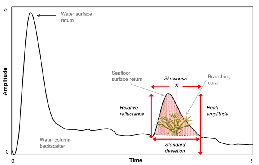
To help fill information gaps, NCCOS is working with partners to develop Lidar waveform processing workflows and products to help predict the location of branching corals around Saipan, CNMI. To meet these goals, the project team is leveraging existing Hawkeye 4 topobathymetric lidar data collected offshore of Saipan by NOAA and the U.S. Geological Survey in 2019 and 2020.
In 2022, NCCOS used this data to select drop camera sites offshore of Saipan. At each site, the research team collected hundreds of high resolution (mm to cm) underwater photographs to document the organisms and habitats on the seafloor, including branching corals. These photographs were collected using a camera and positioned using an ultrashort baseline (USBL) system. The images will be annotated by a benthic expert, and integrated with the lidar waveform maps using machine learning to develop models predicting the locations of branching corals in select locations. The resulting predictions will describe the probability that branching corals occur in a location (i.e., in each raster pixel), and the uncertainty associated with the prediction in that location. The methods used to develop these products and any key results will be described in a NOAA technical report and the resulting GIS products will be documented and archived at NOAA’s National Centers for Environmental Information. This work is being conducted in close partnership with Oregon State University (OSU), NOAA’s Office for Coastal Management (OCM), and Woolpert.
Benefits of Our Work
The predictive maps generated during this project will help marine managers in CNMI identify the location of vulnerable, branching coral reefs. This information can then be used to better evaluate, prioritize, and implement ways to restore these coral resources, and protect their capacity to protect coastlines and provide essential fish habitat for coastal communities.
The project was funded by NOAA’s Coral Reef Conservation Program. It leverages significant investments in CNMI made by NCCOS, NOAA’s National Geodetic Survey, NOAA’s Office for Coastal Management, and the U.S. Geological Survey totaling over $2,400,000. The work is being conducted in partnership with academic institutions (Oregon State University), private industry (Woolpert and Leica) and other federal entities (NOAA’s Office for Coastal Management). At the end of the project, the Lidar waveform processing workflows and associated code base will be made freely available to the public. The intent is to make Lidar waveform product creation easier and more routine for future bathymetric lidar collections by NOAA and its partners.