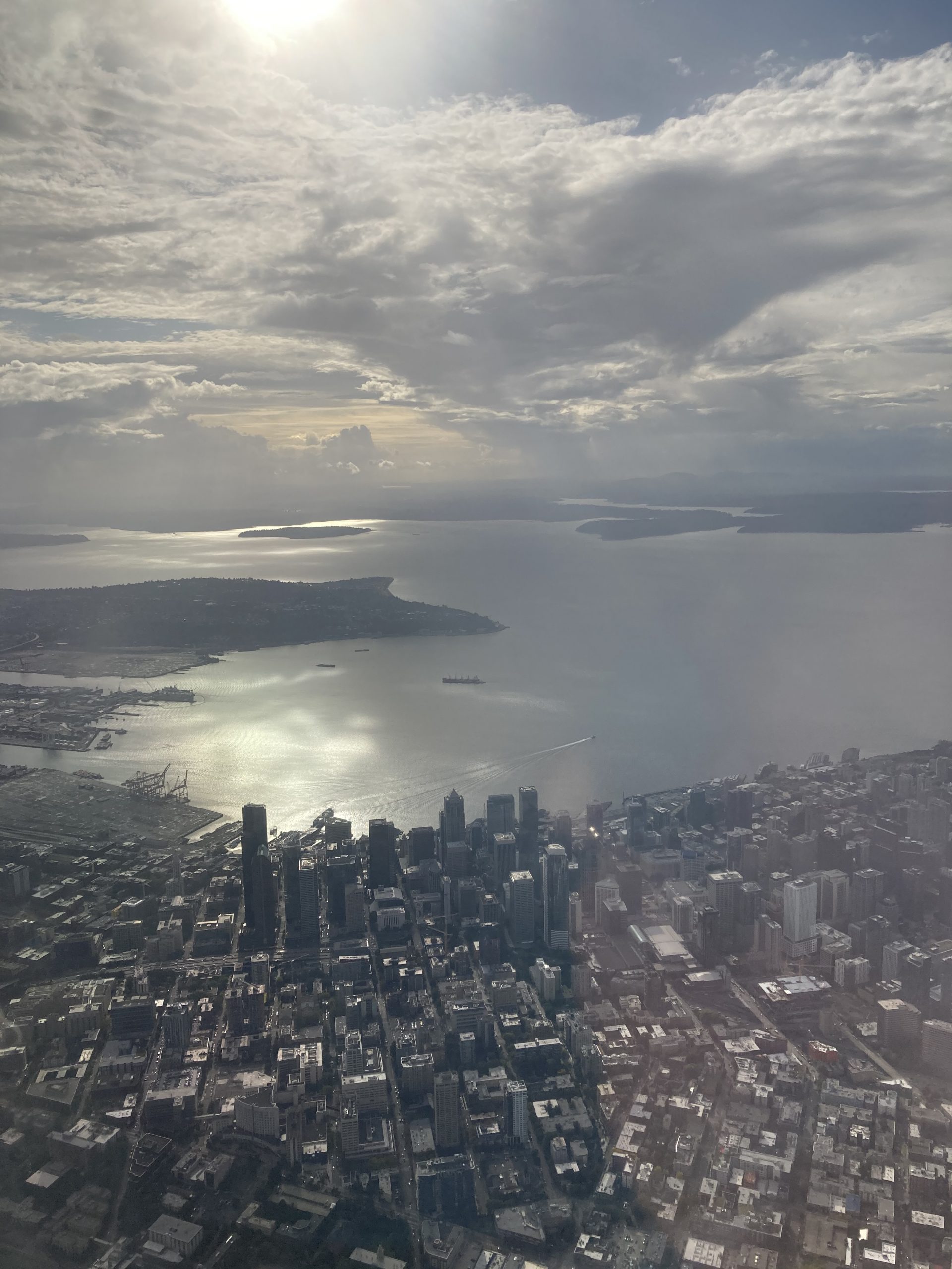
Washington Sea Grant assessed sea level rise exposure for coastal areas of Puget Sound by developing a parcel-level sea level rise vulnerability assessment. NCCOS supported this work through expert guidance and the integration of a social vulnerability assessment. This project provides valuable science to decision makers, planners, and partners that will inform management decisions in Puget Sound for climate-related adaptation and restoration activities.

Why We Care
Coastal communities are increasingly vulnerable to the effects of a changing climate, such as sea level rise and storm surge. Vulnerability is a complex construct that can incorporate factors related to physical infrastructure or social and ecological contexts. These contributing factors vary across geographic space, which results in variations in vulnerability, as well. Assessing vulnerability across space can inform local adaptation efforts for climate change mitigation, habitat restoration, and community improvement.
What We Did
Prior research has led to localized sea level rise projections for Washington State. These probabilistic projections incorporate the latest sea level rise science, and were uniquely designed for direct application to risk management and planning. Washington Sea Grant and Coastal Geologic Services have integrated these sea level rise projections with elevation data and a parcel layer to assess sea level rise exposure for parcels in Puget Sound. They then mapped habitat characteristics and infrastructure at parcel scales in order to assess and rank sea level rise vulnerability and sensitivity. Social scientists with NCCOS leveraged their expertise in vulnerability assessments to support Washington Sea Grant’s ongoing effort by providing overall project support, integrating human dimensions (i.e., social vulnerability) data, and adding capacity to this effort on the West Coast.
NCCOS developed a complementary social vulnerability assessment for communities within the Puget Sound region. To assess social vulnerability, the authors applied part of NCCOS’s vulnerability assessment framework through application of a regionally-modified Social Vulnerability Index (SoVI) for Zip Code Tabulation Areas (ZCTAs) within the Puget Sound drainage basin. A principal components analysis on 50 chosen variables was used to determine the components and variables to include in the final index.
This project relied upon partnerships with Washington Sea Grant, Coastal Geologic Services, and the Puget Sound Partnership.
What We Found
The final social vulnerability index included 36 variables, and resulted in seven components of social vulnerability for the Puget Sound region. Components included Diversity and Urbanity; Income and Education; Age and Housing Occupancy; Isolation, Access to Social Services, and Dependence on Extractive Industries; Housing and Infrastructure; Institutional Inequities; and Life Satisfaction and Belonging. These components were adjusted for directionality and placed in an equal-weighted additive model to achieve a single, community-level social vulnerability index score. The final composite social vulnerability index was then integrated into the SLR vulnerability assessment led by Washington Sea Grant and Coastal Geologic Services as a modifier for identification of co-benefits.
Benefits of Our Work
This project provides valuable science to decision makers, planners, and partners that will inform management decisions in the Puget Sound and support restoration activities. Without these types of analyses, coastal communities and natural habitats are at a disadvantage in the face of climate change and related impacts. Beyond its integration with the larger vulnerability assessment as an optional parcel-level vulnerability score modifier, the social vulnerability assessment can be used as a stand-alone product to inform other efforts in the Puget Sound region and offers a tool for communities and other users to summarize needs and advocate for resources adaptation in the face of climate change and SLR.
