We are developing historical digital elevation models (DEMs) that will help improve predictions of marsh extent under future sea level rise. Land managers can use this information to determine where to prioritize marsh adaptation and mitigation interventions.
Why We Care
Coastal marshes provide critical functions like flood mitigation to nearby communities, but they are increasingly vulnerable to degradation and loss due to climate change, reductions in sediment loading, and sea level rise. Marsh models can help land managers make decisions around where to prioritize restoration activities and determine effective management interventions. While there are a number of marsh models available, they all have different levels of functionality and output, as well as conflicting predictions of marsh extent and health, making it hard for land managers to know the appropriate model to use and how to interpret the results.
Conducting a “retrospective analysis” of marsh models can give us a consistent way to identify where each model performs well, where they don’t, and how model outputs compare to true conditions. In a retrospective analysis several models are run from the same starting year in the past, with the same input information, and the outputs are analyzed to see if they reflect what marshes look like today. Critically, to conduct a retrospective analysis, models require historic, high-resolution digital elevation models (DEMs) of marsh bathymetry. These DEMs are not currently available in many locations, but the necessary historic data exists to develop them.
What We Are Doing
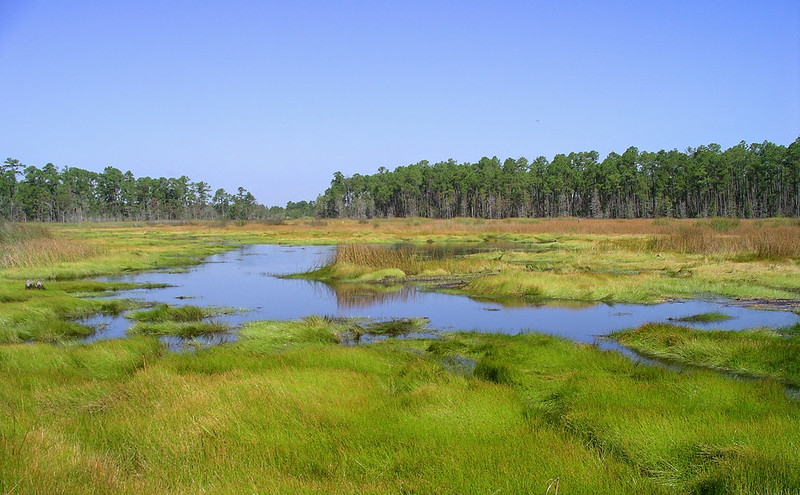
We are developing adjusted, historic DEMs to support a marsh model testbed for retrospective analysis at Grand Bay National Estuarine Research Reserve (GBNERR) in Mississippi and Plum Island Estuary (PIE) in Massachusetts. To achieve this goal, we will:
-
- Collect and synthesize available marsh elevation datasets that span multiple vegetative zones along a coastal elevation gradient;
- Synthesize available data from prior coring efforts at GBNERR and PIE, and collect new marsh sediment cores, to develop detailed chronologies of accretion and deposition rates and assess their utility in adjusting DEMs;
- Use geospatial modeling techniques to develop adjusted, historic DEMs that track changes in marsh extent and elevation at these sites since the 1980s; and
- Contribute to ongoing NCCOS-sponsored efforts to identify data gaps and develop data libraries to conduct a marsh-modeling retrospective for sites in Louisiana, Mississippi, and Florida.
Benefits of Our Work
This information can be used to validate and parameterize predictive, process-based models of sea level rise impacts to marsh ecosystems. Creation of historic DEMs will allow for a consistent way to assess marsh model performance and help guide model advancement and future investment. Ultimately, this will allow for land managers and coastal decision makers to use marsh models to inform management decisions.
The project is led by Dr. Julia Cherry of the University of Alabama and includes co-investigators, Dr. Nathaniel Jones and Dr. Emily Elliott. The project is part of the Cooperative Institute for Research to Operations in Hydrology (CIROH).