We are using machine learning to determine more accurate flood severity thresholds along U.S. coastlines, particularly in places where tide gauge data is sparse, which will inform coastal flooding adaptation and mitigation planning.
Why We Care
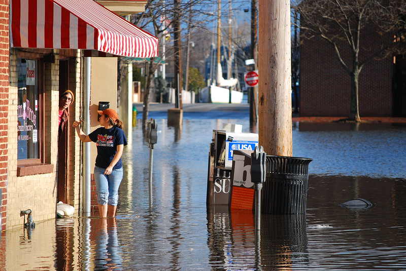
Exposure to coastal flooding is increasing due to sea level rise, population growth, and increasing land intensification in low-lying coastal regions. For effective flood mitigation, monitoring systems that help planners and managers understand flooding patterns over space and time are crucial. NOAA’s National Weather Service (NWS) has established minor, moderate and major flood height severity thresholds for dozens of tide gauges along the U.S. coastline, which help inform coastal planning. However, this data is only available for places where there are installed tide gauges, and there are many instances of the same flood severity (e.g., “minor” or “major”) resulting in very different impacts. To avoid under- or over-estimation of flooding impacts in public weather communications, particularly in locations without physical tide gauges in a close proximity, and to quantify changes in flood risk, a more consistent definition of minor, moderate, and major coastal flooding and associated impacts is needed. This requires knowledge of regional thresholds at a fine spatial resolution.
What We Are Doing
We will use a machine learning–based framework to determine nationally consistent coastal flood severity thresholds beyond unevenly distributed tide gauges. The framework will explore relationships between various physical data (e.g., local elevation profiles, water level, and local hydrometeorological variables) with archived NWS advisory/warning guidance, available damage reports, and other quantifiable impacts, to produce spatially relevant and consistent flood threshold metrics in ungauged coasts every 10 km along the East, Gulf, and West coasts of the U.S.
Benefits of Our Work
This work will provide flood severity thresholds at a relatively high spatial resolution that can inform flood adaptation strategies and help coastal communities keep track of flooding patterns and trends to achieve desired flood mitigation. Outputs can help coastal communities and policymakers plan for the future, prepare for adapting flood hazard mitigation strategies, or revise already existing strategies for mitigation or resource allocation.
The project is led by Dr. Hamed Moftakhari of the University of Alabama. The project is part of the Cooperative Institute for Research to Operations in Hydrology (CIROH).