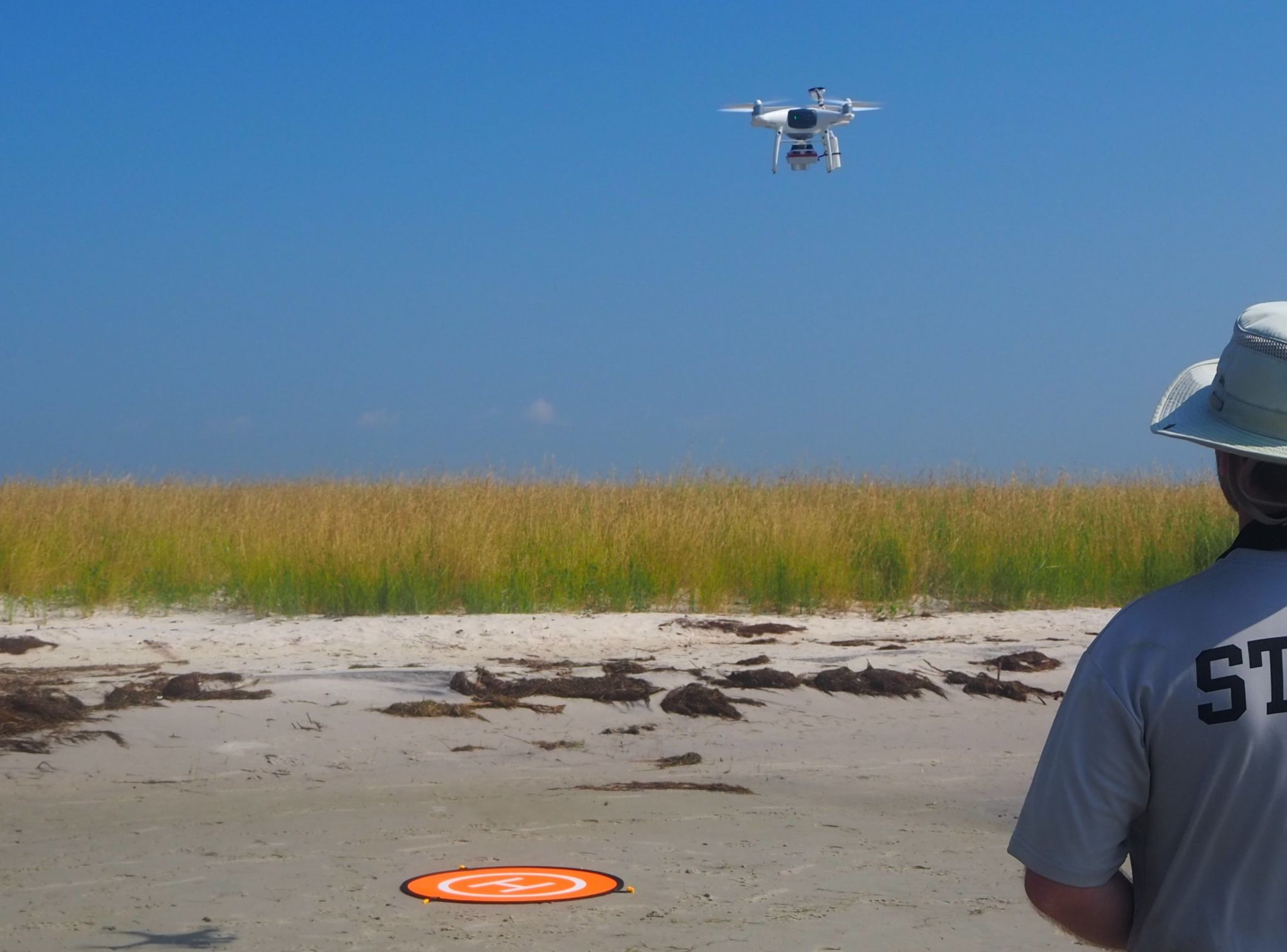
Unoccupied Aircraft Systems (UAS) provide a low-cost approach to collecting high-resolution aerial imagery, making them an attractive option for detecting habitat change over time. We evaluated using UAS-collected imagery to monitor changes in vegetated coastal wetlands and continue to work toward the production of a standardized protocol for augmenting on-the-ground data collection efforts with UAS imagery.
Why We Care
Coastal wetlands of the southeastern United States provide many essential ecosystem services, such as habitat for fish, crustaceans, and birds; filtering pollutants from the water column; and dampening wave energy. Because coastal wetlands occupy the narrow zone between upland and open water regions, they are uniquely vulnerable to coastal storms and sea level rise and serve as indicators of coastal change. The threats to these vulnerable habitats has led to an increased focus on monitoring them to detect change.
Traditional monitoring efforts involve “boots on the ground” manual measurements of marsh vegetation. On-the-ground monitoring efforts require substantial time and effort, and, as a result, are necessarily limited in spatial coverage. Further, repeated ground-based sampling in the same area can result in substantial damage to vegetation from trampling. Unoccupied Aircraft Systems (UAS) have the potential to radically improve wetland monitoring efforts by allowing greater spatial and temporal coverage, and, thus, an enhanced ability to detect change at scales that are relevant to management decisions.
What We Are Doing
Currently, there is a lack of available guidance on optimal image collection and processing techniques, which makes adoption of UAS approaches daunting for users with little prior experience. While it is possible for a novice user to collect imagery that is valuable for visual analysis of large-scale patterns and trends, products that lead to quantifiable and reproducible results are significantly more challenging to create. We are working to develop, assess, and refine a UAS-based tidal wetlands monitoring workflow that is complementary to widely used ground-based methods.
Benefits of Our Work
By providing prescribed methods for data collection and analysis, the proposed work will ensure that entry-level users have the knowledge and confidence needed to generate reproducible and comparable results. By doing so, this effort will encourage the adoption of UAS-based wetland monitoring methods among a wide range of users. Widespread use of UAS will result in researchers being better-equipped to detect changes at spatial scales that are most relevant to management decisions (i.e., an entire reserve or protected area) and, ultimately, in an enhanced ability to manage these valuable ecosystems.