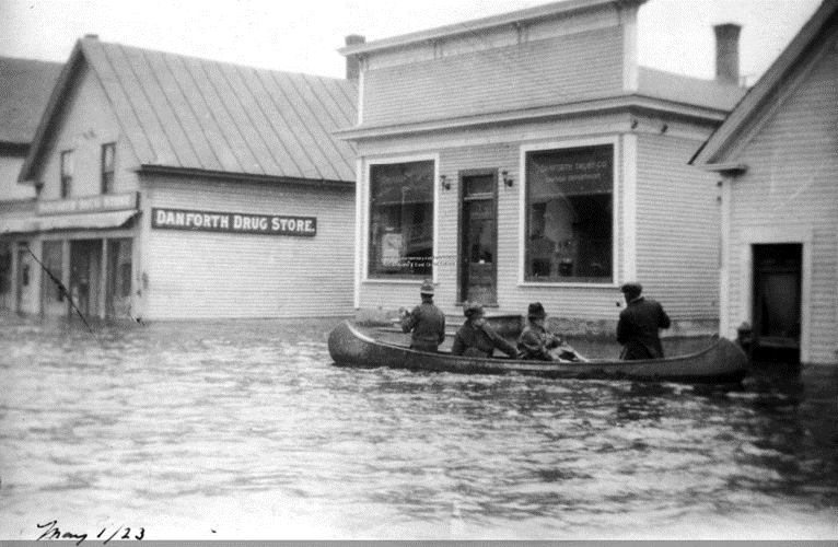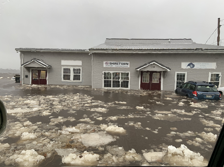
Communities in Maine’s Washington County and Greater East Grand Region experience flooding and other climate-driven hazards. Impacts from these events are felt differently across the region. Both inland and coastal communities are susceptible to extreme flooding, threatening local infrastructure and industries. Through our Community Risk Assessment Portfolio, we are working with local partners to assess community risk in the region.
Why We Care
Coastal communities face immediate and long-term threats from Maine’s changing climate, including sea level rise, increased storms, precipitation, and warmer temperatures. With increased climate-driven hazards, impacted communities face local infrastructure, agriculture, economic, health, and nature risks.
Rural, inland communities are exposed to unique challenges related to climate-driven flooding from heavy rain, riverine overflow, snow thaw, and ice jams. One of the greatest concerns among these inland communities is the consistent devastation of transportation infrastructure through flooded, collapsed, or washed out roads due to inadequate or degraded crossings and culverts. Flooding not only poses home and road safety issues to people living in these inland communities, but also to some of Maine’s key economic industries, such as blueberry farms and lumber industries.
In January 2024, several counties in Maine had major disaster declarations after severe storms and flooding in December 2023 caused more than $20 million in public infrastructure damage. With increased and more frequent flooding events, these communities face more persistent risks throughout the region, making it more challenging to both recover from and prepare for the economic and infrastructural impacts of climate-driven events. These communities need localized vulnerability and risk indices that provide information at local resolutions to inform climate adaptation action and decision making.

What We Are Doing
Through our Community Risk Assessment Portfolio, each year we identify one community or region and work with local partners and their stakeholders to assess community climate risk. Using our site selection criteria, we identified Washington County, Maine, for the Portfolio’s third programmatic assessment. Our research approach includes the following steps:
-
- Partner engagement
- Indicator development
- Vulnerability and hazard assessment
- Risk assessment
- Product development and release
This project relies on key partnerships with the Sunrise County Economic Council and other local, regional, and federal partners, with a special word of thanks to Maine Sea Grant at the University of Maine for coordinating project initiation. In August 2024, we held an in-person workshop to refine project goals and outcomes. As a result of this workshop and other partner consultation, this assessment will identify the following within Washington County and the Greater East Grand Region:
-
- Demographic analysis and structural exposure
- Coastal and inland flood hazard
- Relative risk
- At-risk communities or community assets in relation to flood hazard
- Up to two additional place-based analysis types:
- Analysis of road-stream crossings and culverts
- Analysis of community isolation risk
Benefits of Our Work
The Greater East Grand Region and Washington County have some of the at-risk populations in Maine. As climate change continues, it will become even more important to provide capacity to areas of high climate vulnerability. Rural inland and coastal communities are less likely to have safe infrastructure and emergency services and are economically dependent on some of the state’s most impacted natural resources and related industries. Working with partners directly ensures that our results are locally tailored and relevant for effective planning. This work will provide information to better protect, advance, and manage climate change impacts within Maine and build more resilient communities.
