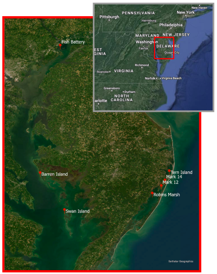
NCCOS researchers, in collaboration with the U.S. Army Corps of Engineers (USACE) Baltimore District, and USACE Engineering Research and Development Center (ERDC), recently visited two dredge-material-amended islands in the Chesapeake Bay as part of an ongoing project quantifying the long-term performance of dredge applications.
Coastal habitats like the marsh islands of Chesapeake Bay, MD provide many valuable services, including habitat provision, shoreline stabilization, and wave energy reduction. In the past century, many of these islands have been severely degraded or lost entirely to erosion and sea level rise. To offset these losses, sediment dredged from the bottom of navigation channels is being used to build up or restore these islands. The extent to which these engineered islands persist despite ongoing sea level rise, and whether they are providing the intended benefits, has not been previously quantified.
On this trip, the team collected data at two sites: Fishing Battery Island in the Susquehanna Flats region of northern Chesapeake Bay (constructed in 2013), and Barren Island in mid-Chesapeake Bay (sediment placed in 2009). Researchers conducted surveys to determine the current topographical
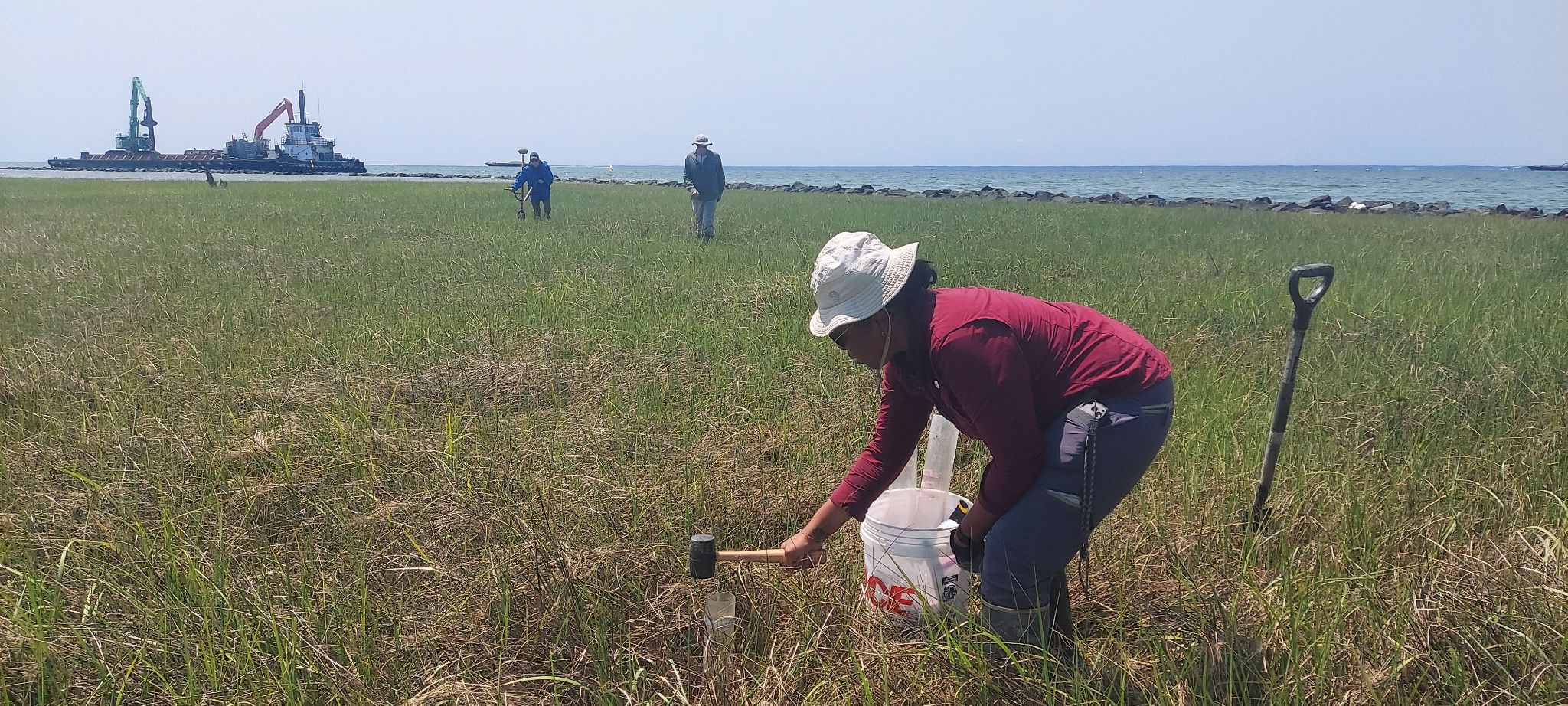
profiles and shoreline position, evaluated vegetative community composition, and collected sediment cores for analysis of carbon content. The collected data will be used to compare current conditions to the design plans to assess whether these sites are performing as intended and whether they are building elevation fast enough to keep pace with sea level rise. These are the first two of six sites that will be evaluated within Chesapeake Bay. Results of this effort will inform site selection and project design for future dredged sediment placements and help to ensure optimal results.