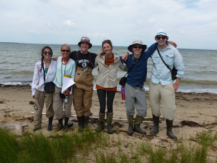
Five NOAA interns joined NCCOS scientists and partners in a demanding week-long field survey to groundtruth high resolution WorldView satellite imagery of wetlands in the Choptank Habitat Focus Area on June 20-24, 2016. Groundtruthing allows satellite image data to be related to real features on the ground, enables calibration of remote-sensing data, and aids in the interpretation and analysis of what is being sensed.
The team accessed wetlands by land or boat, waded into marshes and sometimes crawled through mud, to reach the shores of 12 sites in the Choptank, Little Choptank and Tuckahoe Rivers. Sites also included Blackwater Wildlife National Refuge, Choptank Pier State Park, Tuckahoe State Park, and the Town of Oxford, Maryland. Once ashore, the team navigated through thick mud and dense vegetation to make polygons and transects of resident plant species with GPS units, and then took photographs, measured canopy heights, and identified plant species within each polygon.

The interns hailed from University of Massachusetts, University of Maryland, Washington College, Hampton University, and Florida Agricultural and Mechanical University and represented NOAA’s Hollings Scholar Program, Five Colleges Program, Environmental Cooperative Science Center, and Living Marine Resources Cooperative Science Center.
For additional information, contact Maya Spaur or Lauren Winter.
