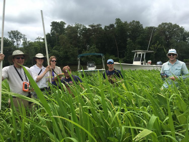
Field surveys of wetland habitats were conducted in the Choptank watershed on June 20-24, 2016 by NCCOS scientists, partners, students, and interns to groundtruth high-resolution WorldView satellite imagery of the watershed acquired in 2015. Analysis of vegetation communities will enable production of mapping products of wetlands in NOAA’s Choptank Habitat Focus Area. These data provide a baseline of wetland health and plant biomass and productivity against which future restoration activities in the region can be measured.

Twelve sites were sampled in the Choptank to identify and photo-document plant species and to measure canopy height. This information augments data collected in 2015 during similar groundtruthing exercises also performed by NCCOS scientists and partners in 10 Choptank wetland habitat sites. The data gained this year expands the diversity of documented vegetation communities and will enhance the accuracy of planned mapping products.
The collaborative project included scientists, students, and interns from NCCOS’ Cooperative Oxford Lab, NOAA’s Educational Partnership Program, NOAA Chesapeake Bay Office, NOAA Five Colleges Program, NOAA Hollings Scholar Program, Maryland Department of Natural Resources, National Science Foundation, Creighton University, University of Georgia, Florida Agricultural and Mechanical University, University of Maryland, University of Massachusetts, Washington College, and Hampton University.
For additional information, contact Shawn McLaughlin or Suzanne Skelley.
