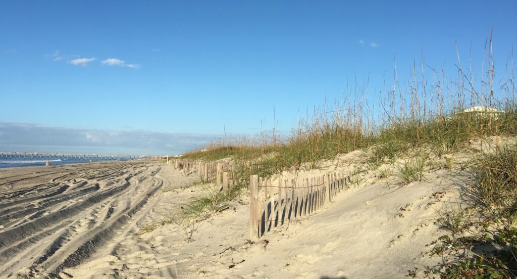
North Carolina’s Outer Banks have some of the highest rates of coastal erosion and sea level rise on the East Coast, providing the perfect setting to study what dunes need to thrive and protect us from flooding. With funding from NCCOS, a collaborative and interdisciplinary team of researchers from Oregon State University and the University of North Carolina at Chapel Hill published several recent findings on the region’s dunes that will help coastal officials better manage them.
In a study published by the Journal of Coastal Engineering, the team quantified dune morphology and its interannual change along Cape Lookout National Seashore in North Carolina. Using Windsurf, a coupled beach-dune model, the researchers produced a one-year hindcast (probable past conditions) of dune growth to explore and quantify the influence of pre-existing dune shape, environmental conditions, sediment, and ecological characteristics on annual coastal dune evolution. Project findings can inform dune restoration, grass planting, beach and dune grading, and beach nourishment efforts. By better understanding how different factors influence dune growth, coastal managers may prioritize which, where, and how different strategies are implemented.
In the Journal of Environmental Modelling and Software, these researchers further advanced their Windsurf model along Bogue Banks in North Carolina. The team now uses two, machine-learning algorithms to simplify some model tasks, allowing the model to more quickly and accurately extend Windsurf projections into the future and with less computational demand. They also included management scenarios for dunes with and without sand fences. This novel approach offers the potential to improve the accuracy of storm impact assessments and to deliver them quickly.
In Ecosphere, the team focused on dune evolution for the full extent of the Outer Banks, covering a 186-mile stretch of barrier islands from Shackleford Banks to False Cape. The researchers assessed the roles of sand supply, beach shape and structure, and vegetation in determining foredune morphology and its change, finding that beach shape and sediment supply were most important in shaping the foredune, while vegetation type and density played a lesser role. The work is unique in its consideration of dune evolution at such a large spatial scale.
Together, these findings can help coastal officials better predict changes to beach and dune systems and more effectively manage them to protect infrastructure. The studies were funded in part by a project in the NCCOS Effects of Sea Level Rise Program.