Predictive Habitat Modeling
Predictive habitat modeling is the process by which relationships are mathematically defined between habitats (e.g., sand with seagrass) and associated environmental or geographic variables (e.g., depth, slope, distance to the shoreline) of those habitats. NCCOS uses predictive modeling approaches to semi-automate habitat characterization and classification processes. This approach provides a framework to more efficiently process increasing volumes of data. Recent advances in artificial intelligence now make it easier to implement predictive modeling approaches and generate continuous predictive maps for benthic habitats. These approaches enhance our ability to characterize habitats in support of NCCOS science and the coastal and marine management community.
Shallow-Water
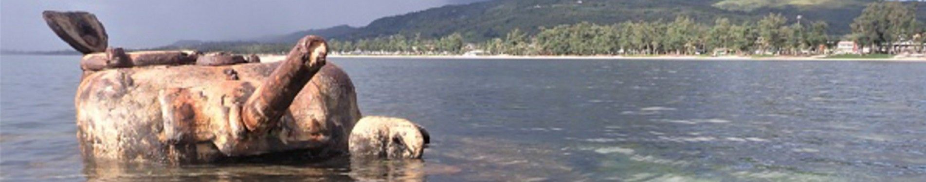
Over the last decade, natural and human-caused threats have changed the composition of shallow-water (<30 m) benthic habitats. Looking to better understand these changes, local resource managers asked NCCOS to develop new habitat maps. Using satellite imagery, underwater photographs, and predictive modeling, we can produce original and updated benthic habitat maps to visualize current and future benthic habitat composition.
Mesophotic
Mesophotic coral reef ecosystems, found at depths of 30 to 150 meters, provide many ecological and economic benefits to nearby islands, including supporting fisheries and enhancing shoreline protection. Like their shallow-water counterparts, these ecosystems are increasingly under threat from a variety of stressors and threats, like overharvesting, pollution, coastal development, invasive species, ocean acidification, and climate change. In recent years, there has been a greater effort to document mesophotic coral reef ecosystems, and collect baseline information about their spatial distributions, compositions, and health. This baseline spatial information, including habitat maps, are needed to monitor changes in these ecosystems and to develop strategies to mitigate these threats moving forward.
Deep-Sea
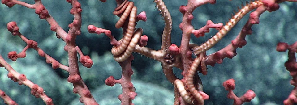
Deep-sea coral and sponge communities, found at depths greater than 150 meters, are also vulnerable to natural and human-caused stressors and impacts. However, collecting data on these communities is logistically challenging and cost prohibitive, especially in open ocean areas such as the Gulf of America, or remote locations like those in the Pacific Ocean. To fill this information gap for these remote areas, NCCOS produces maps of deep-sea coral and sponge communities (100–3,500 m), providing a cost-effective tool for identifying potential distributions of these communities and other deep-sea organisms in areas where data are sparse yet information is needed to support conservation and management decisions.
Our Work
Multiple branches across NCCOS are working together to make predictive modeling a core capability in NCCOS’s habitat characterization and classification process. This effort enables NCCOS to:

Make habitat maps more objective, quantitative, and probabilistic

Operationalize HMT’s habitat mapping and characterization processes

Transition mapping to a monitoring tool, which could be used to detect and quantify changes in seafloor habitats over time