NCCOS, in close collaboration with sanctuary partners, will map high-priority areas of lakebed within the Thunder Bay National Marine Sanctuary.
Why We Care
Lakebed maps are important for detecting, characterizing and monitoring submerged resources within the Thunder Bay National Marine Sanctuary (TBNMS). This work will substantially add to the 16% of the lakebed surveyed within the sanctuary with sufficient detail to identify submerged resources, will explore ecologically important areas with little to no information, and will help better understand the connections between submerged cultural resources and the broader Great Lakes environment.
What We Are Doing
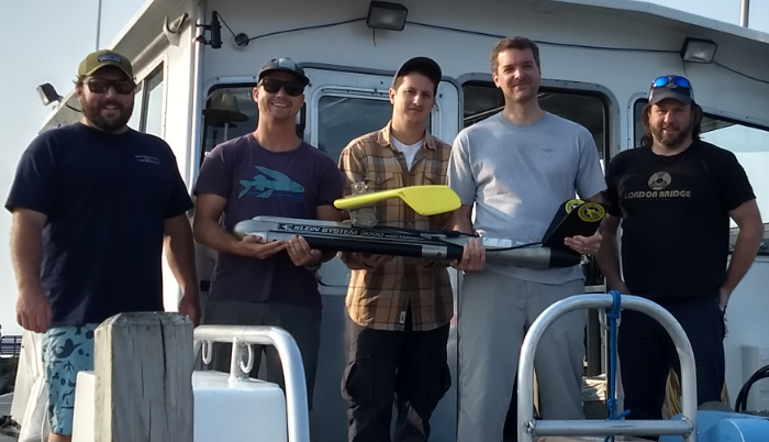
This project will collect new lakebed data using acoustic mapping technologies, develop lakebed maps tailored to sanctuary management objectives, assess data gaps in existing mapping information and identify priorities for future mapping and monitoring. This is the first NCCOS marine spatial ecology project in Thunder Bay National Marine Sanctuary, and consequently much of the work is intended to understand existing data and efficiently map new areas.
Objective 1: Assess existing lakebed mapping data within the sanctuary to support strategic planning, particular as the Cooperative Science and Monitoring Initiative rotates back to Lake Huron.
Objective 2: Identify mapping priorities of researchers and managers working within the sanctuary. This prioritization is being completed in coordination with the Bottom Mapping Group, an inter-governmental and inter-agency steering committee seeking to prioritize bottom mapping at much broader lake-level spatial scales.
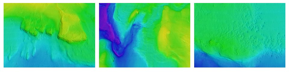
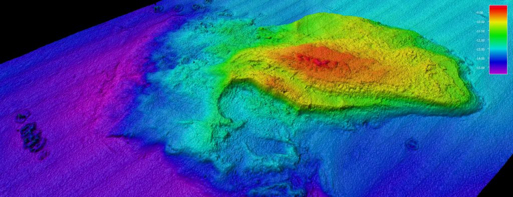
Objective 3: Collect high-resolution bathymetry, acoustic backscatter and in situ imagery data in high-priority areas. These data will be used to develop maps of cultural, physical, and living resources in the sanctuary.
Benefits/Impact of Our Work
The proposed work will add to the 16% of TBNMS that has been surveyed, add to our knowledge of habitats in the Great Lakes, and could find one of the 100 or more shipwrecks waiting to be discovered within the sanctuary. This project will generate new maps and videos of maritime heritage, and physical and living resources. It will produce reports and associated geospatial data which will characterize and inventory resources in the sanctuary. The prioritization and data assessment will tee up future mapping work to enhance collaborations and efficiently collect new data.
This project will add to the sanctuary’s resource database and Geographic Information System to enable better management and interpretation of resources within the sanctuary. Data and reports will also support resource management and research by sanctuary partners including the US Fish Wildlife Service, Michigan Department of Natural Resources, the Great Lakes Environmental Research Laboratory, US Geological Survey, and University of Michigan.
Next Steps
There are no plans to continue this study after April 2020. The lessons learned from this study will benefit other mapping efforts in the Great Lakes.
Example Images