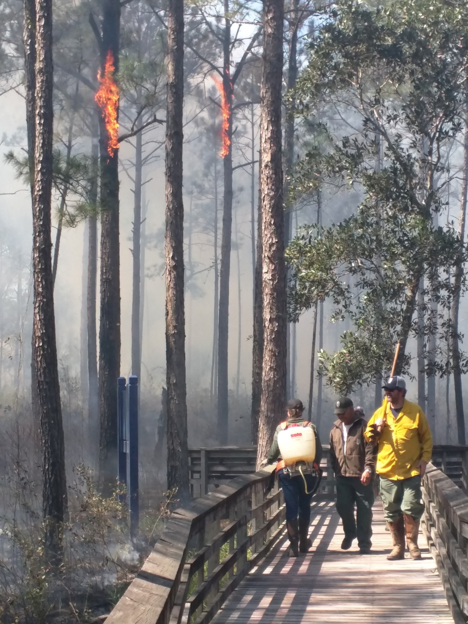
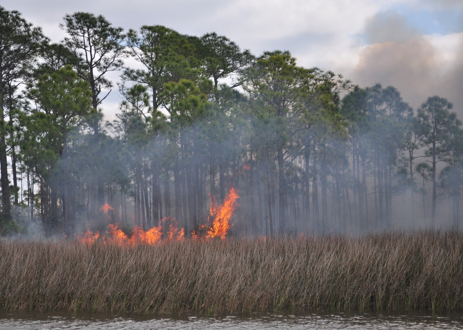
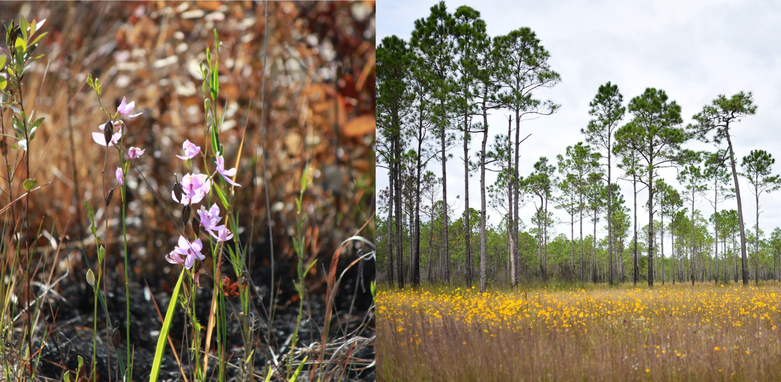
Land managers in the United States use prescribed burning to lessen the risk of frequent and dangerous wildfires and to restore ecosystems. This project seeks to understand public opinions about prescribed burns in coastal counties of Alabama and Mississippi. The aim is to provide land managers with the tools they need to educate the public and build local support for their efforts.

Why We Care
In Alabama, from 2023 to 2024, there were 122 wildfires in Mobile and Baldwin Counties and a total of 2,215 fires across the state (Current Wildfire Totals. Alabama Forestry Commission). In Mississippi, from 2023 to 2024, there were approximately 400 fire alerts in Jackson County alone and approximately 3,500 fire alerts statewide (Mississippi, United States deforestation rates & statistics. Global Forest Watch). Prescribed burns, or planned fires, are one management approach used to reduce the risk of severe wildfires by making landscapes more resilient to fire (U.S. Department of the Interior, NPS). These fires are considered “prescribed” because they require careful planning, considering factors like temperature, wind direction, and humidity to avoid widespread smoke and accidental fires. Each year, about 1 million hectares of land in the United States are burned this way, with less than one percent spreading out of control (Ryan, Knapp, & Varner 2013).
Prescribed fire is used much less frequently today than in the past, partly due to safety concerns and public perceptions. These factors can hinder the use of fire as a management tool, even where it’s necessary for ecosystem health. Many people focus on the immediate downsides of smoke and potential fire outbreak, overlooking the long-term risks of not using fire, such as increased wildfires and reduced biodiversity. Additionally, regulations like the Clean Air Act and the Endangered Species Act limit when and where burns can occur to protect air quality, human health, and endangered species (Ryan, Knapp, & Varner 2013).
What We Are Doing
This study aims to help public land managers, including those at Weeks Bay (WBNERR) and Grand Bay National Estuarine Research Reserves (GNDNERR), with their efforts in restoration and conservation through prescribed burns. We will gather information on public opinions about these burns. This will involve both primary data, such as random surveys of people, and secondary data, like socioeconomic information, human movement patterns, and maps.

We will collect opinions on the perceived benefits and risks of prescribed burns, as well as trust in the agencies that carry them out. Our methods will include analyzing public opinions in different areas, along with looking at visitor use, fire locations, and smoke levels. The results of this project will help both people and nature by raising community awareness and understanding of prescribed burning.
Benefits of Our Work
This project helps land managers understand how their management techniques impact local communities and how their actions are viewed and understood. Outputs for this project include a storymap of results, educational infographics for distribution to land managers internally and to the public, and a written report.
Next Steps
Our next step is to conduct our surveys in 2025. After completion of surveys, responses will be mapped and spatially analyzed, with products planned for public release in 2027.

Sources:
Current Wildfire Totals. Alabama Forestry Commission. (n.d.). https://forestry.alabama.gov/Pages/Fire/Totals.aspx
Mississippi, United States deforestation rates & statistics. Global Forest Watch. (n.d.). https://www.globalforestwatch.org/dashboards/country/USA/25/?category=fires
Ryan, K.C., Knapp, E.E. and Varner, J.M. (2013), Prescribed fire in North American forests and woodlands: history, current practice, and challenges. Frontiers in Ecology and the Environment, 11: e15-e24. https://doi.org/10.1890/120329
U.S. Department of the Interior. (2020, March 19). Wildland fire: What is a prescribed fire? National Parks Service. https://www.nps.gov/articles/what-is-a-prescribed-fire.htm
