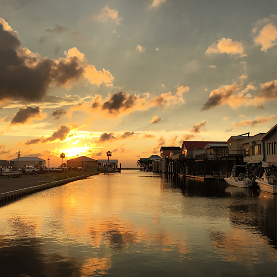
The project team will analyze socioeconomic data in and around working waterfronts in the Gulf of Mexico along with common natural coastal hazards to define a community of people most likely to be affected by offshore aquaculture development. The work will help identify where future aquaculture investments may have the highest potential to improve community resilience.
Why We Care
Coastal communities in the Gulf of Mexico are facing increasing danger from hurricanes, sea level rise, and other environmental hazards, and they need adaptive management tools to enhance their resilience, accordingly. These new tools require a clear understanding of a community’s socioeconomic composition.
Our research team established some socioeconomic indicators and identified others to meet the needs of the Gulf of Mexico Fishery Management Council and NOAA’s Ecosystem-Based Fisheries Roadmap and collectively address human well-being. These indicators include commercial and recreational fishing engagement and reliance, coastal- and ocean-based economic metrics, land use, and social connectedness.
For aquaculture applications and many commercial fishery applications, one of the most important features of the community is the working waterfront, as well as nearby shoreside support businesses. The indicators developed so far do not separate aquaculture activity from wild harvest fisheries, but were designed for the needs of social impact assessments while highlighting fishing engagement, reliance, and community social vulnerability. This project will add a working waterfronts indicator to these standards to define a community of people most likely affected by aquaculture development. Finally, this work will add a perspective of resilience to the integrated analysis to help identify where future aquaculture investments may have the highest potential to improve community resilience.
What We Are Doing
The goal of this project is to develop a spatial, working waterfront indicator that can be used with existing socioeconomic indicators and spatial risk models to help plan aquaculture siting. The project has three phases:
- Phase 1. Gather secondary data and leverage indicator development work ongoing in the Gulf of Mexico Integrated Ecosystem Assessment Program. The primary purpose of this phase is to repackage existing indicators in a spatial data system, which will allow researchers to include data in geospatial tools like Ocean Reports, compare locations within the Gulf of Mexico region, and disentangle the specific role aquaculture plays in determining indicator outcomes.
- Phase 2. Create a Gulf-wide inventory and indicator of the status of working waterfronts. Shoreside support infrastructure is critical to aquaculture development and is a central hub of ocean-related economic and community activity; it is a critical addition to the existing indicators in Phase 1 to be useful to aquaculture applications. Since current data are inconsistent and not up to date, this phase will require verification of data through on-the-ground visits by local team members and partners. The number of visits necessary will be minimized by first verifying existing working waterfront data with remotely sensed imagery and identifying areas in need of updates.
- Phase 3. Indicators will be used to create a risk profile for each community potentially impacted by an Aquaculture Opportunity Area (AOA) based on working waterfront locations. These profiles will highlight risk due to sea level rise and storm surge inundation and highlight past responses and resilience during major stresses such as hurricanes, oil spills, and market shifts. The profiles will help prioritize areas where industry investments can be optimized and contribute benefits, costs, and risks to the Programmatic Environmental Impact Statements developed for AOAs.
Benefits of Our Work
- Data and indicators will be useful to NOAA’s Office of Aquaculture by demonstrating the utility of the Gulf of Mexico Integrated Ecosystem Assessment Program indicators in a spatial format.
- Indicator(s) about working waterfronts in proposed Gulf AOA’s will provide a georeferenced database of all existing working waterfront infrastructures in the Gulf of Mexico region. Attributes of the different working waterfronts will help industry decide where to land its catch. Indicator data will also serve disaster impact analyses used to aid planning in the aftermath of a hurricane.
- Integrated and ground-truthed data will be available in geodatabase format and accessible through Marine Cadastre, and Ocean Reports. New indicator(s) can be scaled to the nation, with future investments in data sourcing and ground truthing, so a template for scaling up indicator(s) will be available to aid future work.
- Benefit and risk portfolios for communities surrounding AOAs can be developed. Information will contribute to the Environmental Impact Statement of the AOA in the Gulf of Mexico and help prioritize connections to communities that may benefit the most from their development.
- The database and code developed for the project will easily inform the Programmatic Environmental Impact Statement process. The most important characteristics of different AOA options will be readily available for comparison and will contribute to quantitative summary statistics in Programmatic Environmental Impact Statements, as well as more qualitative descriptions of socioeconomic status of affected areas.
- Community profiles can help adaptation planners identify both assets and vulnerabilities in the face of natural hazards.
