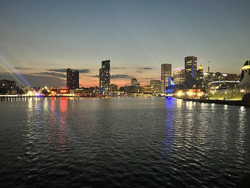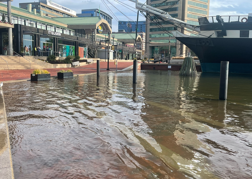
Coastal communities in the United States are forced to grapple with flooding, storms, and other hazards, and these challenges are anticipated to intensify as a result of climate related impacts. The communities most profoundly affected by these events vary significantly, with some communities experiencing these impacts more than others. As part of our Community Risk Assessment Portfolio, we are collaborating with local partners to evaluate climate risk in the Baltimore, Maryland, Metro Area.
Why We Care
Communities situated in coastal zones not only derive economic vitality and natural resources from their surrounding environments but also contend with increased risk of severe and persistent weather events, such as hurricanes, sea level rise, and stormwater flooding. Events can bring about storm surges, coastal flooding, and damaging winds. The aftermath of acute storm events, coupled with more frequent flooding episodes due to high tides and heavy rains, poses significant obstacles for local communities in recovering from and preparing for the impacts of climate change.
This work provides data that can guide climate adaptation actions and decision-making. The ultimate goal is to ensure the long-term protection of both the fragile coastal landscapes and the communities connected to them.
What We Are Doing
Through our Risk Assessment Portfolio, each year we identify one community or region and work with local partners and their stakeholders to assess community climate risk. Using our site selection criteria, we selected the Baltimore Metropolitan Area of Maryland, a coastal region experiencing flooding hazards and heat risks, for the Portfolio’s second programmatic assessment. Our research approach includes the following steps:
-
- Partner engagement
- Indicator development
- Vulnerability and hazard assessment
- Risk assessment
- Product development and release
This project relies upon partnerships with the Maryland Sea Grant Program, the Maryland Department of Natural Resources, Johns Hopkins University, and other regional stakeholders.