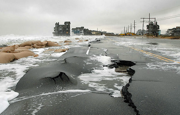
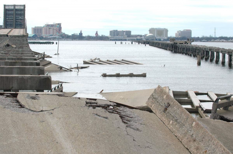
Modeling concepts developed by the NCCOS sponsored Gulf of Mexico Ecological Effects of Sea Level Rise (EESLR) project are being used by the U. S. Department of Transportation (DOT) as a case study in the latest DOT hydraulic engineering manual.
The manual, ‘Highways in the Coastal Environment: Assessing Extreme Events,’ provides technical guidance and methods to civil engineers for assessing the vulnerability of coastal transportation facilities to extreme events and climate change. The focus of the manual is to quantify transportation infrastructure exposure to sea level rise, storm surge, and waves considering climate change.

Building on research published in the journal ‘Terrestrial, Atmospheric and Oceanic Sciences,’ the case study represents a ‘change in management knowledge’ regarding coastal engineering in the face of climate change related sea level rise. The case study is presented as a ‘level of effort 3,’ the most challenging level of analysis, where modeling of storm surge, sea levels, currents, and waves including tsunamis is conducted in a probabilistic risk framework while also incorporating impacts of climate change.

The use of NCCOS-developed sea level rise modeling tools by the U.S. DOT illustrates the important paradigm shift in coastal modeling developed through EESLR. Our coastal infrastructure is highly exposed to extreme events today and that exposure is likely to increase with sea level rise and climate change. New approaches and solutions will be needed.
