Scientists with NOAA’s National Centers for Coastal Ocean Science and partners are currently testing an experimental forecast that advances tracking and predicting harmful algal blooms (HABs) in estuarine and coastal waters. This advanced system combines high-resolution remote sensing products and hydrodynamic modeling — which tracks particle movement through a body of water — to provide essential information regarding the distribution and growth of HABs.
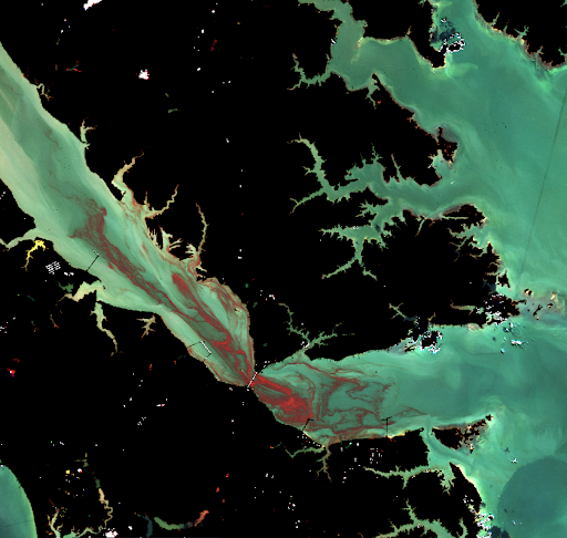
The team used near-daily high resolution satellite imagery to identify bloom location and intensity. This method helps remove the otherwise large level of uncertainty involved in predicting when the initial blooms will occur. The team then used the hydrodynamic model, which incorporates water currents and flow to simulate the bloom transportation and intensity as it migrates through the body of water.
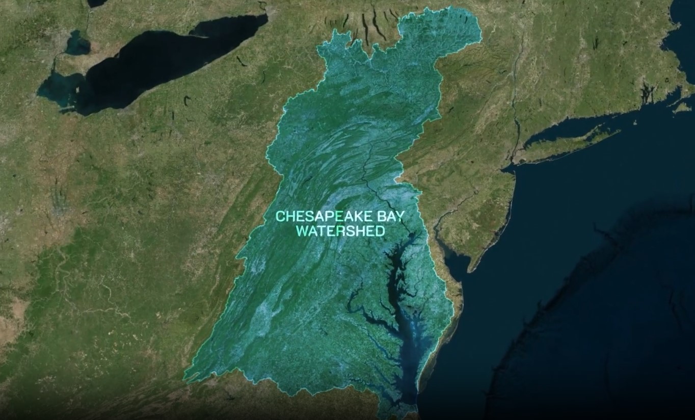
The modeling team has tested this advanced method in Virginia’s York River, a lower tributary of the Chesapeake Bay, which is prone to rust tide. Rust tide is caused by Margalefidinium polykrikoides, a type of phytoplankton that releases a reddish-brown pigment for which the bloom is named. While these phytoplankton blooms are not currently known to cause harm to humans, they do impact fish and shellfish respiration, which can negatively affect the fishing and aquaculture industries and, therefore, the economy within the Chesapeake Bay.
Following the successful performance within the York River, the modeling team is currently expanding the model’s capability to cover additional HAB-prone areas within the Chesapeake Bay watershed, including the lower James River and the lower part of the bay’s mainstem. The model will continue to run in experimental mode throughout the summer when HABs are more likely to occur in the Chesapeake Bay.
A new journal article was recently published in Frontiers in Marine Science, highlighting these advancements along with the methodology used in these models. The team is planning to expand the model to simulate Alexandrium monilatum, another species of phytoplankton capable of producing harmful algal blooms, within the region in the future. Additionally, this framework will transfer to other estuarine systems for tracking harmful algal blooms. Learn more about ongoing efforts of NCCOS harmful algal bloom forecasting.
Partners in this effort include Oak Ridge Institute for Science and Education, and the College of William and Mary’s Virginia Institute of Marine Science.
This work is authorized by the Harmful Algal Bloom and Hypoxia Research and Control Act, 33 U.S.C. §§ 4001 et seq., in which Title 53, Chapter 33 § 4002 directs NCCOS to develop experimental forecasts in Alaska, Lake Okeechobee, and the Chesapeake Bay.