NCCOS scientists are forecasting this summer’s Gulf of Mexico hypoxic zone or “dead zone”—an area of low to no oxygen that can kill fish and other marine life— to be approximately 4,115 square miles, substantially below the 36-year average measured size of 5,364 square miles. The annual prediction is based on the U.S. Geological Survey (USGS) river-flow and nutrient data.
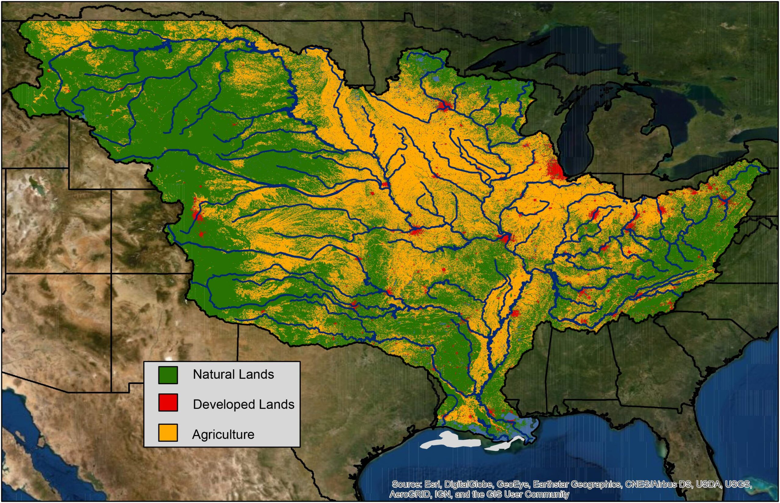
Mississippi River discharge and nutrient loading data for the month of May jointly contribute to the estimated size of the Gulf’s dead zone during the summer. This year, discharge in the Mississippi and Atchafalaya rivers was about 33 percent below the long-term average between 1980 and 2022, and nitrate and phosphorus loads were about 42 percent and five percent below the long-term average, respectively.
When the excess nutrients reach the Gulf, they stimulate an overgrowth of algae, which eventually die and decompose, depleting oxygen as they sink to the bottom. The dead zone in the Gulf of Mexico affects nationally important commercial and recreational fisheries and threatens the region’s economy.
NOAA issues a dead zone forecast each year, and refines the models used by the Hypoxia Task Force to set nutrient reduction targets and better understand the link between hypoxia and nutrients. A NCCOS-supported monitoring survey is scheduled to confirm the size of the 2023 Gulf dead zone in late July, a key test of the accuracy of the models.
This is the sixth year NCCOS is producing an independent forecast, the culmination of a multi-year academic-federal partnership to develop a suite of hypoxia forecast models. The partnership included teams of researchers at the University of Michigan, Louisiana State University, William & Mary’s Virginia Institute of Marine Science, North Carolina State University, Dalhousie University, and USGS. The NOAA forecast integrates the results of these multiple independent models into a separate average forecast and is released in coordination with these external groups.
NOAA and its partners continue to develop additional hypoxia forecast capabilities to understand impacts on living marine resources, including including a new experimental model from scientists at NOAA Fisheries and North Carolina State University to better understand where shrimp could be found relative to the hypoxic zone.