NCCOS scientists are forecasting this summer’s Gulf of Mexico hypoxic zone or “dead zone”—an area of low to no oxygen that can kill fish and other marine life— to be approximately 6,700 square miles, larger than the long-term average measured size of 5,387 square miles but substantially less than the record of 8,776 square miles set in 2017. The annual prediction is based on U.S. Geological Survey river-flow and nutrient data. This area equates to 4.3 million acres of potentially lost habitat to fish and bottom species.
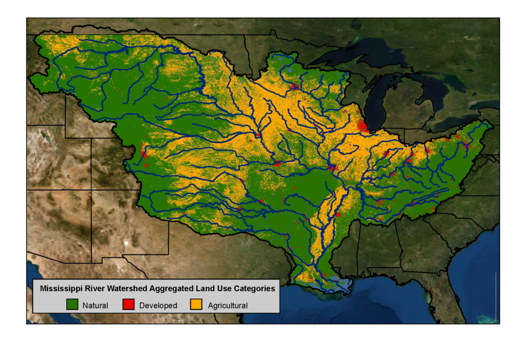
The dead zone in the Gulf of Mexico affects nationally important commercial and recreational fisheries and threatens the region’s economy. NOAA issues a dead zone forecast each year, and refines the models used by the Hypoxia Task Force to set nutrient reduction targets and better understand the link between hypoxia and nutrients. A NCCOS-supported monitoring survey is scheduled to confirm the size of the 2020 Gulf dead zone in late July, a key test of the accuracy of the models.
This is the third year NCCOS is producing an independent forecast, the culmination of a multi-year academic-federal partnership to develop a suite of hypoxia forecast models. The partnership included teams of researchers at the University of Michigan, Louisiana State University, William & Mary’s Virginia Institute of Marine Science, North Carolina State University, Dalhousie University, and USGS. The NOAA forecast integrates the results of these multiple independent models into a separate average forecast and is released in coordination with these external groups.
NCCOS and its partners continue to develop additional hypoxia forecast capabilities to understand impacts on living marine resources, better evaluate the role of phosphorus on the dead zone size, and understand the relationship between hypoxia volume and area.