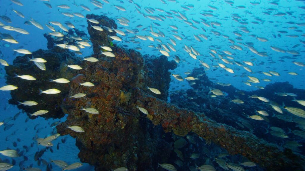
Globally, there is evidence that many tropical fish species are shifting their geographic ranges poleward and to deeper waters in response to changing ocean conditions. Off North Carolina, researchers have found that shipwrecks and other artificial reefs may act as stepping stones for tropical fish that are going beyond their normal range in search of favorable habitats.
The team is still trying to understand why the fish prefer the artificial structures to natural, rocky reefs nearby.
“It could be that the zooplankton and smaller fish these species eat are more plentiful on artificial reefs. Or it could be that human-made reefs’ complex structures give the fish more nooks and crannies where they can evade predators. We’re still trying to figure it out,” noted Chris Taylor, a research ecologist at NOAA’s National Centers for Coastal Ocean Science and a co-author of the study.
The fishes’ preference for artificial reefs suggests that linked networks of these structures could be used to aid the survival of ecologically and economically important species.
The study, published in May 2019, will inform a variety of activities in the region, such as artificial reef enhancement programs, management of historic shipwrecks, and placement of proposed offshore wind energy infrastructure.
Citation: Paxton, Avery B.; Peterson, Charles H.; Taylor, J. Christopher; Adler, Alyssa M.; Pickering, Emily A.; and Silliman, Brian R. 2019. Artificial reefs facilitate tropical fish at their range edge. Communications Biology. Vol 2 (168). https://doi.org/10.1038/s42003-019-0398-2