Communities in Maine’s Washington County and Greater East Grand Region experience flooding, ice storms, wildfires, and other environmental hazards. Impacts from these events are felt differently across the region. Both inland and coastal communities, along with local infrastructure and industries, are at risk. Through our Community Risk Assessment Portfolio, we worked with local partners to identify and assess these community and infrastructure risks.
Why We Care
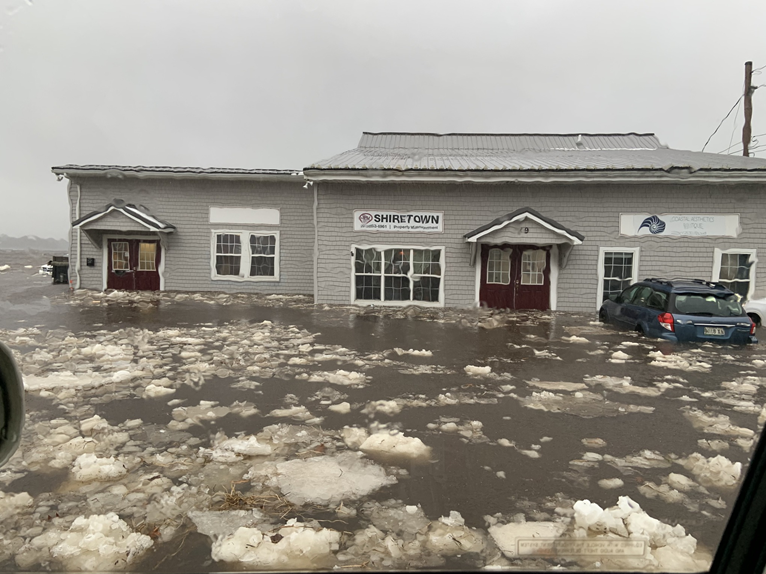
Coastal communities face immediate and long-term threats from environmental hazards in Maine, including sea level rise, increased storms, precipitation, and warmer temperatures. Impacted communities in both coastal and inland areas face local infrastructure, agriculture, and economic risks.
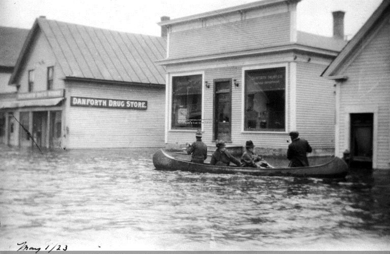
Rural, inland communities are exposed to unique challenges related to flooding from heavy rain, riverine overflow, snow thaw, and ice jams. One of the greatest concerns is the consistent devastation of transportation infrastructure through flooded, collapsed, or washed out roads due to inadequate or degraded crossings and culverts. Flooding and washouts not only pose road-safety issues to local communities, but can also disrupt or burden some of Maine’s key economic industries, such as blueberry farms and lumber operations.
In January 2024, several counties in Maine had major disaster declarations after severe storms and flooding in December 2023 caused more than $20 million in public infrastructure damage. With increased and more frequent flooding events, these communities face more persistent risks throughout this region, making it more challenging to both recover from and prepare for the economic and infrastructural impacts of these events.
What We Did
Through our Risk Assessment Portfolio, each year we identify one community or region and work with local partners and their stakeholders to assess community risk to environmental hazards. Using our site selection criteria, we identified Washington County, Maine, for the Portfolio’s third programmatic assessment. Our research approach includes the following steps:
-
- Partner engagement
- Indicator development
- Vulnerability and hazard assessment
- Risk assessment
- Product development and release
This project relied on key partnerships with the Sunrise County Economic Council and other local, regional, and federal partners, with initial support from Maine Sea Grant at the University of Maine, to identify the following within Washington County and the Greater East Grand Region:
-
- Population and critical infrastructure density
- Hazard profiles for storm surge, stormwater flooding, winter ice storms, and wildfire
- Road-stream crossing risk and an inventory of road-stream crossings
- Infrastructure risk and road isolation risk by hazard type
- Areas at risk of community isolation
- Co-occurrence risk map
This research project was informed by an in-person workshop and virtual follow-up consultations in 2024. Participants were invited based on expertise, organization, interest, and availability within Washington County and the wider planning region.
Our Findings
This assessment used both indicators and indices to evaluate environmental hazards and assess relative risk across the study area. These tools are commonly applied in community risk assessments to measure, track, and communicate levels of exposure and risk.
First, we created profiles for four major hazards: coastal storm surge flooding from a Category 2 hurricane, stormwater flooding from heavy rain, wildfires, and winter ice storms. Working with local partners, we identified the most important types of infrastructure, such as roads, medical centers, and emergency services, that built upon what was already included in regional planning maps. Using this information, we built maps showing where key structures are located and how exposed they are to each hazard.
Next, we developed a detailed dataset of road-stream crossings, including both known culverts and estimated crossing points that were missing from existing maps. Our road-stream crossing risk analysis evaluated how soil conditions (like drainage and erosion potential) and flooding risk could increase the chance of washouts or damage. To understand how hazards might disrupt transportation, we also analyzed how roads connect to each other and to critical services. Areas with fewer road connections were more likely to become isolated during a storm or other hazard. We combined these connectivity scores with hazard data to estimate the risk of road isolation. We also considered service areas related to health, public safety, and essential community services, and how far people needed to drive to access these important facilities.
Finally, we mapped where people live and compared population density with different hazard areas. Using maps that show two factors at once, we identified where high population areas overlap with greater hazard exposure. This helps to highlight where people and infrastructure may be most at risk.
Benefits of Our Work
Washington County and the Greater East Grand Region have some of the most at-risk populations and infrastructure in Maine. As the risk of infrastructure failures and community isolation grows, it’s important for these communities to have local information they can use to prepare for and respond to hazards. This region also depends heavily on natural resources through its wild blueberries, logging, wreath-making, and fishing industries, so reliable roads and transportation are essential for both daily life and the local economy. Our research provides data and tools that help decision-makers plan ahead and use resources wisely. The results show which areas are most at risk from flooding, winter ice storms, and wildfires, so communities can focus maintenance, upgrades, and emergency planning where they’re needed most.
This work helps identify:
- Communities that could become isolated during disasters,
- Road-stream crossings most likely to fail or wash out, and
- Critical services that might be disrupted during hazard events.
By using this information, towns and regional planners can strengthen emergency response, reduce damage, and build a safer, more resilient future for residents across the region’s towns, townships, and more remote areas.