As the need to secure more U.S.-based food sources grows, scientists with NOAA’s National Centers for Coastal Ocean Science (NCCOS) are providing data and mapping support to analyze sensitive habitats for proposed commercial fishery areas. The support will inform the South Atlantic Fishery Management Council’s decision on whether to establish a new, shrimp fishery access area (SFAA) in the Atlantic Ocean.
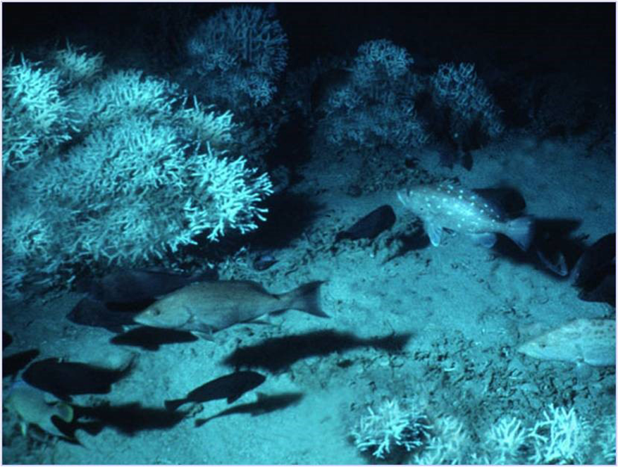
The proposed SFAA is within the Oculina Bank Habitat Area of Particular Concern (HAPC), off of Florida’s Atlantic coast. The Council requested information from NOAA Fisheries’ Deep Sea Coral Research and Technology Program (DSCRTP) regarding the extent of Oculina coral reefs — a unique ecosystem exclusive to this particular geography that provides essential habitat for many species of fish and invertebrates — within the area under consideration. DSCRTP contacted NCCOS spatial ecologists requesting their extensive expertise in analyzing and interpreting seafloor mapping data to characterize the seafloor and infer the potential distribution of benthic habitats. NCCOS spatial ecologists reviewed existing Oculina observation data, species distribution model outputs, and seafloor mapping (multibeam) data. They then consulted with the DSCRTP and the Southeast Fisheries Science Center and determined that the existing information was insufficient — due to poor data quality and lack of visual surveys — to confirm the presence of Oculina corals within the proposed SFAA.
To fill this data gap, DSCRTP coordinated with the NOAA Office of Marine and Aviation Operations to have NOAA Ship Nancy Foster map the SFAA over a 24-hour period while in transit from Norfolk, Virginia, to Key West, Florida, in early April 2025. NCCOS provided guidance to the Foster on mapping requirements, such as resolution and spatial coverage.
NCCOS scientists and DSCRTP received the data collected by the Foster and analyzed the results. Bathymetry and backscatter data revealed that the presence of Oculina reefs was unlikely in the area being considered for SFAA. Oculina reefs are visible in high-resolution bathymetry data collected in other parts of the Oculina Bank HAPC and can be discerned from the coarser NOAA BlueTopo data, which is derived from depth soundings from the 1960s in this location. However, no evidence of Oculina reefs was observed in the data collected by the Foster. NOAA Fisheries has shared these findings with the Council ahead of its June 2025 meeting, when the Council will likely make a decision about the SFAA.
Visit the South Atlantic Fishery Management Council web page on the consideration of establishing a SFAA in the Oculina Bank HAPC.
This work is authorized under the Coast and Geodetic Survey Act (33 U.S.C. §§ 883a et seq.) under which NCCOS conducts mapping surveys, the Coral Reef Conservation Act of 2000 (16 U.S.C. §§ 6401 et seq.) under which NCCOS maps coral reef environments, and the Magnuson-Stevens Fishery Conservation and Management Act of 2007, which governs marine fisheries and their habitats in federal waters.