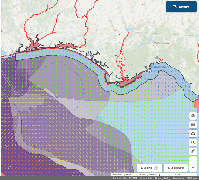
OceanReports, the most comprehensive web-based spatial assessment tool for U.S. ocean waters, is fast becoming popular with businesses and agencies involved in ocean and coastal use, including aquaculture. A new article in MarineCadastre News describes the tool’s ability to quickly and efficiently identify spatial conflicts and areas where oceanographic and biophysical conditions are conducive to cultivated species growth.
OceanReports is now being used in all phases of the permitting process from planning and scoping to environmental review. Within seconds, users can explore their ocean neighborhood, and view data about conservation and use, enabling intelligent placement of offshore industries.
This web-based interactive tool for ocean mapping and planning was designed for all ocean industries as a source of information for transportation, navigation, renewable energy, natural and protected resources, environmental interactions, and coastal development.
Learn more about OceanReports here.