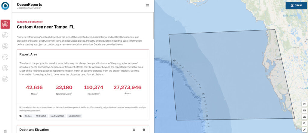
This week, NOAA and its partners launched OceanReports, the most comprehensive web-based spatial assessment tool for U.S. ocean waters. The tool contains over 100 data sets of authoritative ocean information, allowing users to analyze energy and minerals, natural resources (species and habitat), transportation and infrastructure, oceanographic and biophysical conditions, and the local ocean economy within any area of the U.S. Exclusive Economic Zone.
The application is designed to streamline permitting, decrease costs, and increase transparency for all ocean industries. OceanReports is expected to create exciting opportunities for emerging industries like offshore aquaculture and renewable energy to make sustainable use of the ocean and its resources. The tool builds on more than a decade of data collection to transform how seemingly disparate ocean information can be analyzed and delivered to the nation’s ocean and coastal industries, which add $320 billion in annual gross domestic product to the nation’s economy.
NCCOS developed OceanReports in partnership with the Bureau of Ocean Energy Management, the U.S. Department of Energy, and NOAA’s Office for Coastal Management.
