Scientists within NCCOS’ Biogeography Branch develop extensive seafloor maps and depict benthic habitats that better inform policy makers and resource management decisions. But NCCOS also aims to provide guidance for coastal states in conducting their own mapping, data collection and analysis in the future. Increasing state and federal scientific collaboration also supports regional marine spatial planning, biogeographic monitoring, and joint coastal ocean stewardship. One way to facilitate this transfer of mapping knowledge is through hands on training workshops on NCCOS methods, workflows, and technology.
Members of the Biogeography team recently held two such workshops in Washington State–in Olympia, WA with the Washington State Department of Natural Resources (DNR) and Lacey, WA for a variety of state civilian and military agencies, Tribal nations, NGOs, and academic institutions.
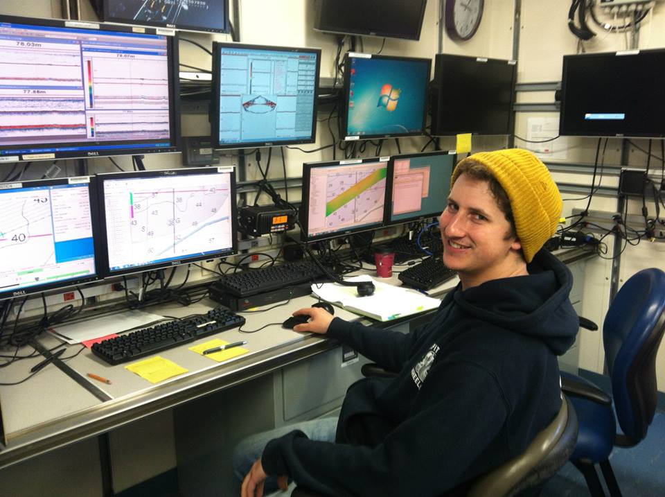
In Olympia, the training was provided to educate DNR scientists and enhance their ability to create detailed seafloor maps that depict benthic habitats, such as the shallow-water eelgrass beds, an important component of the Puget Sound ecosystem. This included describing the equipment NCCOS uses for field data collection, along with proper planning and procedures, and giving demonstrations on the software used for processing and analyzing seafloor mapping data. In Lacey, the training focused on demonstrating methods of spatial prioritization, and the process utilized a custom web-based mapping interface designed by NCCOS (the Washington State Spatial Prioritization Tool) to solicit input from participants as to the location, priority, and management application of seafloor mapping needs. The effort culminated in the identification of five priority locations (two nearshore and three offshore) along the Pacific Coast requiring additional seafloor mapping effort, as well as detailed narratives supporting these locations.

All participants were enthusiastic about learning new mapping methods and applying it to data they acquire from their research vessels and other state, federal, and academic sources.
For more information: Will.Sautter@noaa.gov or Tim.Battista@noaa.gov.