NOAA’s National Centers for Coastal Ocean Science (NCCOS) Senior Application Developer, Ken Buja was recently interviewed by Esri, a well-known geographic information system (GIS) software company, and featured in an Esri Community Member Spotlight. Recognized for his Esri Community MVP status, Mr. Buja is a strong contributor to the Esri community, assisting other rising experts with hurdles and roadblocks. In turn, Mr. Buja requests assistance from the Community to help address his own challenges.
For over 30 years, Mr. Buja has used Esri products to create applications that benefit his colleagues, data users, and NCCOS as a whole. Often developing tools that others can download and customize, part of Mr. Buja’s role is to develop a tool once to be used many times, thus reducing the time and costs for additional scientists with similar tool needs. The Sampling Design Tool for ArcGIS is an example of such a tool that users can download and customize to fit their requirements. Originally built to address the needs within NOAA, other agencies and organizations have been using this tool to fulfil their demands as well.
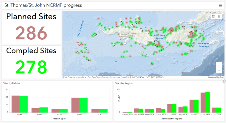
Mr. Buja works closely with fellow NCCOS Scientists to develop products that help them analyze cumbersome data or create models, resulting in more efficiency within the project teams. Furthermore, Mr. Buja develops products that partners and coastal community decision makers use to more efficiently visualize and easily access NCCOS data archives. For example, Mr. Buja worked with a project team to develop the U.S. Virgin Islands Coral Reef Prioritization Digital Atlas, which enables local planners and decision makers to visualize data that inform management decisions within the context of coral reefs. Additionally, Mr. Buja has developed applications, such as the Spatial Prioritization Widget, a tool that enables more efficient collaboration across partners and stakeholders.
This extensive resumé and expansive knowledge base within the field is the reason Mr. Buja is recognized as an expert in the application development world and was featured in an Esri Community Member Spotlight.
Visit the Esri Community blog to view Mr. Buja’s full interview and article.
View additional tools Mr. Buja has developed: