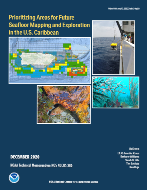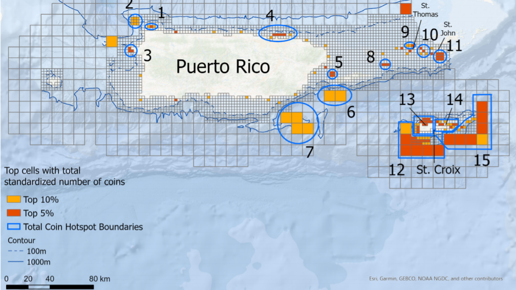
NCCOS scientists teamed with 15 participants from Puerto Rico and U.S. Virgin Islands local, federal, territory, and academic organizations to identify priority areas for future seafloor mapping and visual survey efforts. The group identified 15 high priority locations (Figure 1).
The researchers pooled, analyzed, and mapped the results to identify relationships between mapping priorities, rationale, and data needs. Detailed methods and results of the analysis are now published.
Spatial information about the seafloor is critical for marine research and management organizations tasked with ensuring safe navigation, sustainable fisheries, smart renewable energy, and sound ecological stewardship in U.S. coastal and marine waters. Coordination among these research and management organizations can help them efficiently leverage resources to map and explore unknown seafloor areas in support of their individual objectives, mandates, and missions. Effective coordination requires that these organizations understand where and when their priorities overlap with others operating in the same regions.
The tools and information developed for this project will enable federal, territory, and academic stakeholders to efficiently leverage resources and coordinate the mapping of high priority locations across the U.S. Caribbean.

