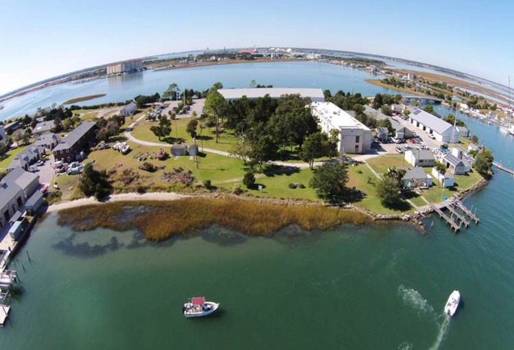
NCCOS and The Nature Conservancy partnered to create a decision-support tool for North Carolina’s coastal communities that identifies where shoreline conditions are suitable to ensure successful living shoreline projects. Living shorelines use native vegetation alone or in combination with offshore sills to stabilize the shoreline. The nature-based technique provides an alternative to “hard” shoreline stabilization methods like stone sills or bulkheads, and provides numerous benefits including nutrient pollution remediation, essential fish habitat provision, and protection from waves and storms.
Since 2011, NCCOS researchers have been working to fill gaps in the science that informs the use of living shorelines to control coastal erosion. NOAA has examined how shoreline hardening negatively affects estuarine animals; the relationship between shoreline wave energy, marsh distribution, and marsh erosion rates; and the ability of fringing marshes to attenuate waves and trap sediment. The research has served as the foundation for the new map-based tool, which analyzes wave energy and marsh distribution to determine which living shoreline approach is most appropriate for a given site.
With over 12,000 miles of shoreline in North Carolina, managing erosion and stabilization is a large task. “This tool will help homeowners and marine contractors team up for success,” said Kenneth Riley, a fishery biologist with NOAA’s National Marine Fisheries Service. “We recommend that the living shorelines tool is used in conjunction with traditional planning and engineering to help design a living shoreline to achieve an optimal restoration result,” added Riley.

