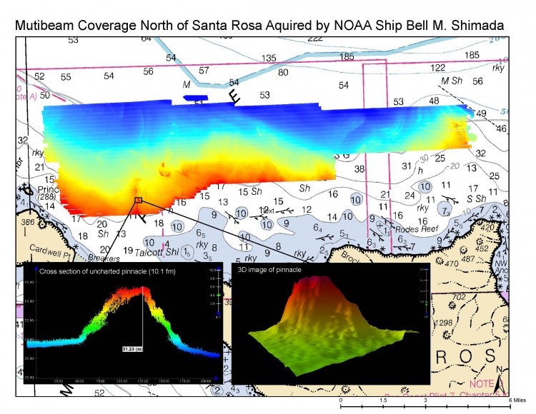
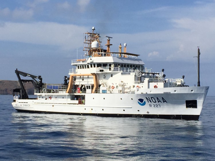
Well over 50 percent of the Channel Islands National Marine Sanctuary seafloor has yet to be mapped or characterized at a level suitable for resource management. Recently on board the NOAA ship Bell M. Shimada, NCCOS and partners worked to reduce that number. On this mission, 82 square miles were mapped and identified as priority areas of the sanctuary. The ship’s ME70 multibeam system, which was largely untested for habitat characterization prior to this effort, was used to collect information on depth, seafloor features and substrate type. Simultaneously, sonar data indicating fish abundance and distribution in the water column was also collected. ROV video footage and still photography focused on corals were collected to support subsequent habitat classification analysis.
Using algorithms developed by NCCOS to extract seafloor metrics along with backscatter intensity, the mapping team demonstrated an approach that was successful in predicting hardbottom areas thought to support vibrant communities. The presence of abundant deep-sea octocorals and rockfish was then verified by ROV dives over these newly identified complex hardbottom habitats. By accentuating seafloor characteristics using this mapping approach, potential areas of deep sea coral habitats were highlighted for further exploration. In the next phase, this approach will be used to produce habitat classification maps for the entire area surveyed. Additionally, hotspots of high fish abundance associated with uncharted features were identified.
The habitat maps, along with information on presence and abundance of corals and fish, will be utilized to inform resource protection, spatial modeling, and permitting. In addition, bathymetric data will be provided to the Office of Coast Survey to improve navigational safety and update regional nautical charts, including a newly located pinnacle north of Santa Rosa Island.
This research was made possible by a partnership between multiple offices within the National Ocean Service (NCCOS, ONMS, OCS), the Office of Oceanic and Atmospheric Research (OER), and Marine Applied Research and Exploration (MARE).
For more information, contact Laura.Kracker@noaa.gov.