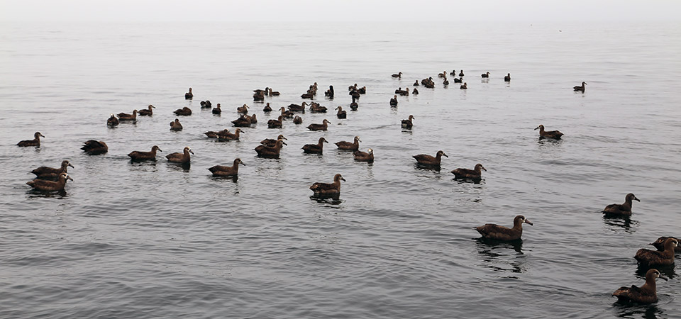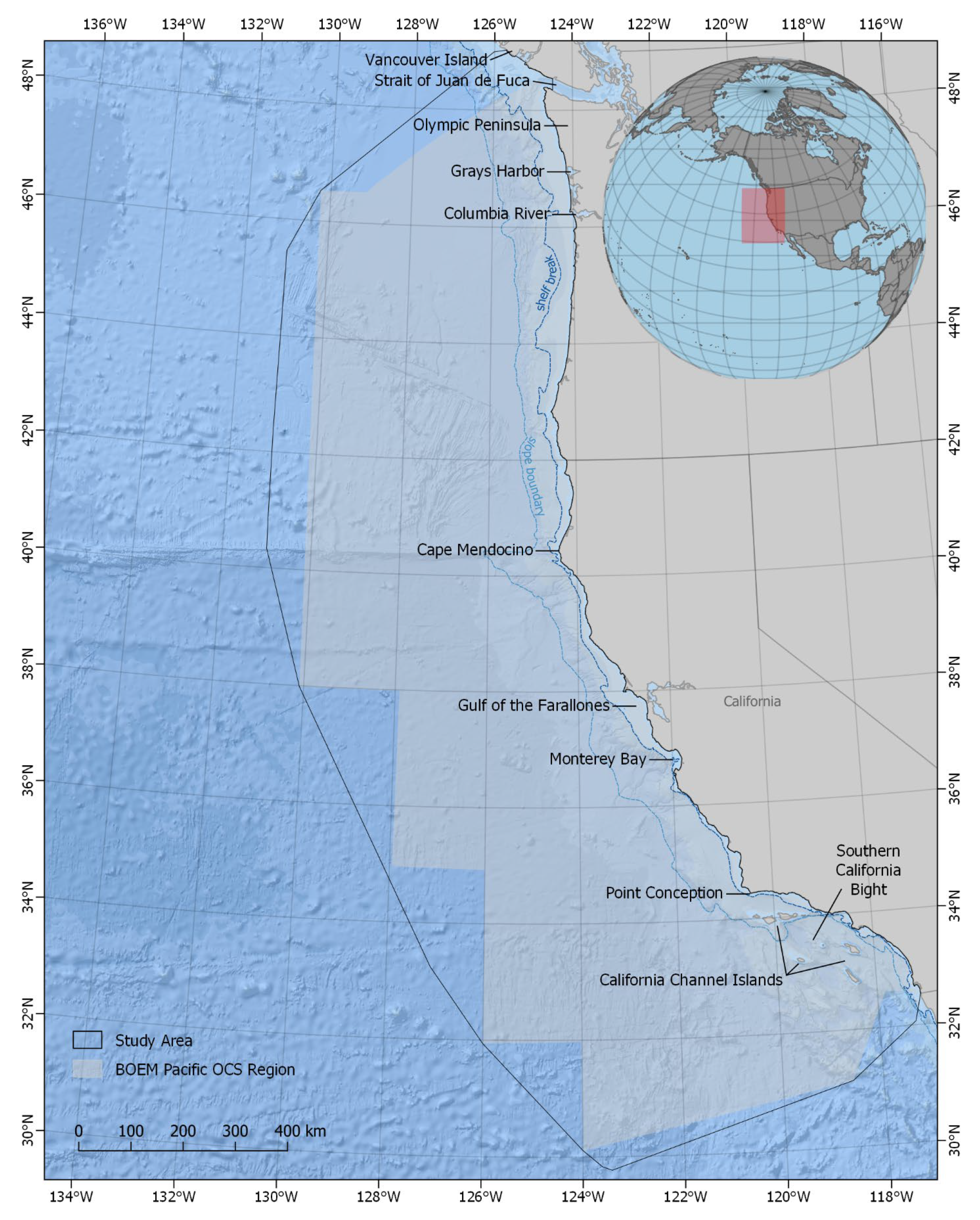

NCCOS and partners published the at-sea spatial distributions of 33 species of marine birds for the contiguous U.S. Pacific outer continental shelf to inform offshore wind energy planning in the region.
The researchers used bird sighting data from survey transects conducted between 1980 and 2017, along with environmental and oceanographic data, to extrapolate bird distributions and densities in non-surveyed areas between surveyed transects. The team’s predictive maps created from these model outputs can be used to assess risk for marine birds and guide siting of offshore wind energy projects that minimize negative impacts to their populations.
NCCOS data and analyses are informing the Bureau of Ocean Energy Management’s (BOEM) offshore wind energy siting decisions around the nation. NCCOS has ongoing projects with BOEM to provide geophysical assessments of the seafloor, the living resources found there, and models that predict the broader spatial and temporal distribution and abundance of fish, birds, corals, and marine mammals.
