NCCOS and NOAA’s Office of Ocean Exploration and Research (OER) partnered to create a publicly available spatial bibliography of Alaska’s deep ocean waters (greater than 650 feet deep) to support marine exploration and research in the region. The Alaska Spatial Bibliography will help OER identify data gaps, as well as unexplored and underexplored areas of Alaska’s deep sea to prioritize future expeditions and help the scientific community achieve broader environmental management goals.
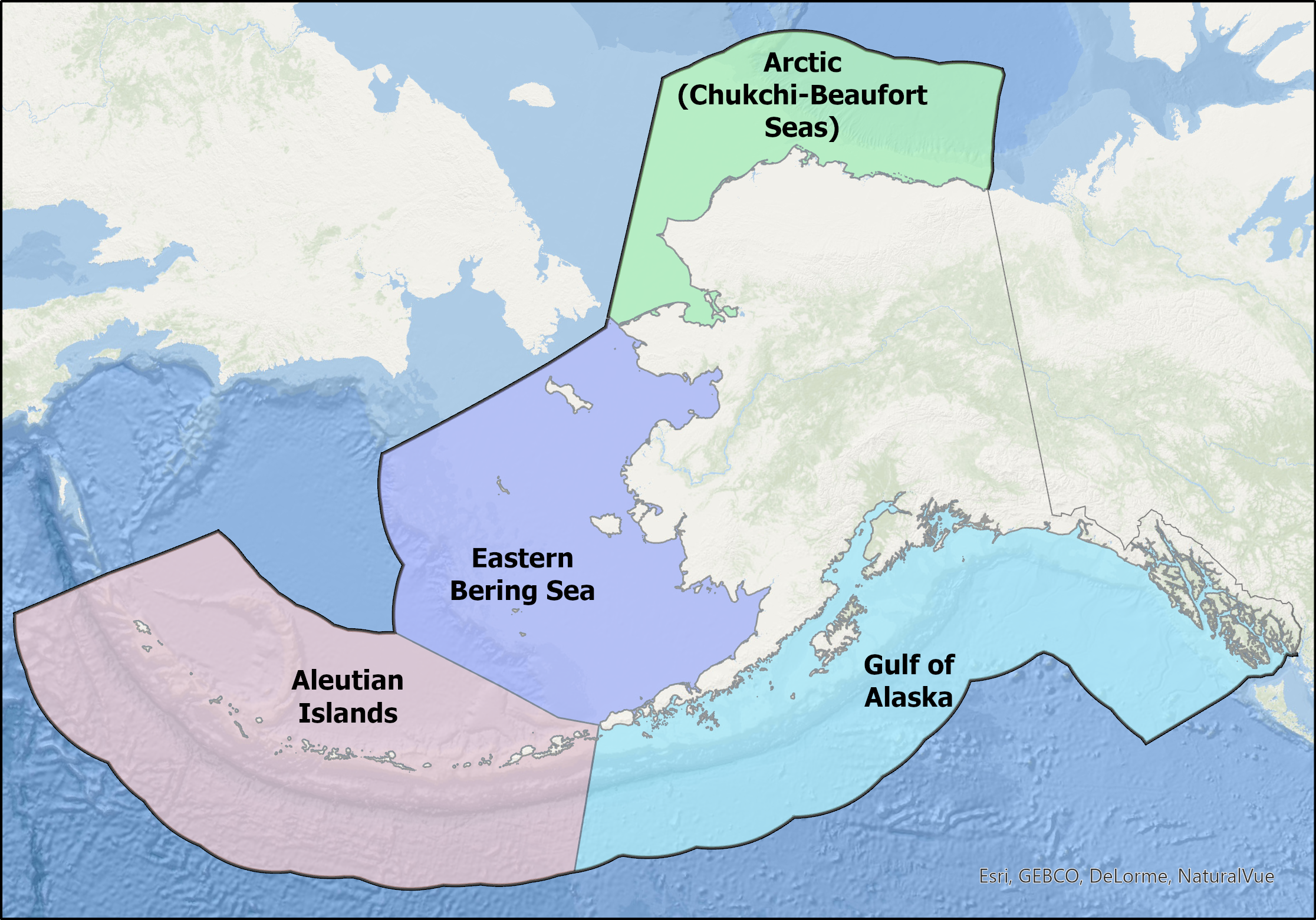
Unlike many bibliographies, which are lists of publications, the Alaska Spatial Bibliography uses an interactive map interface to present documents based on location of study. The tool contains over 570 citations, scientific publications, and technical reports covering the Aleutian Islands, the Arctic (Chukchi and Beaufort Seas), the eastern Bering Sea, and the Gulf of Alaska.
The Alaska Spatial Bibliography was highlighted at the 2021 Esri Federal GIS Conference as a Geographic Information System tool having a positive impact on human society.