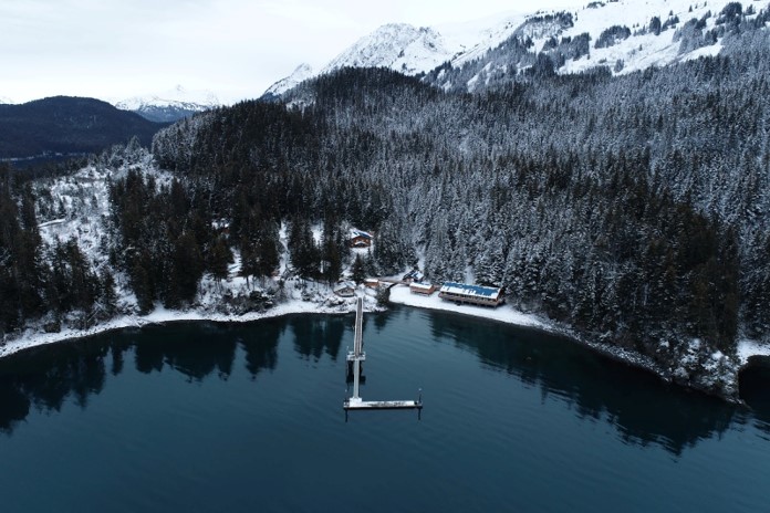
 The spring field season has started; don’t let the snow fool you! Scientists at NCCOS’s Kasitsna Bay Lab in #Alaska started their first full season of habitat mapping this week, and captured a parting shot of the lab with their trusty drone. Their ongoing project will quantify kelp seagrass and other vegetation in Kachemak Bay to inform management of the bay’s valuable natural resources. Learn more: https://coastalscience.noaa.gov/project/mapping-intertidal-and-subtidal-habitats-of-kachemak-bay-and-lower-cook-inlet-alaska/
Photo credit: Dominic Hondolero, NOAA/NCCOS